Distance to Jefferson, New Hampshire

Calculating Your Route
Just a moment while we process your request...
Location Information
-
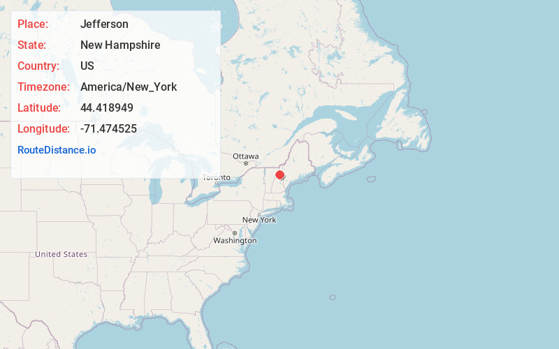
Full AddressJefferson, NH
-
Coordinates44.4189486, -71.4745254
-
LocationJefferson , New Hampshire , US
-
TimezoneAmerica/New_York
-
Current Local Time2:47:26 AM America/New_YorkSunday, June 22, 2025
-
Website
-
Page Views0
About Jefferson
Jefferson is a town in Coos County, New Hampshire, United States. The population was 1,043 at the 2020 census. It is home to parts of the White Mountain National Forest in the south and northeast and to Santa's Village, a Christmas-themed amusement park. There are also several private campgrounds, motels and inns.


Nearby Places
Found 10 places within 50 miles

Lancaster
6.7 mi
10.8 km
Lancaster, NH
Get directions

Whitefield
7.5 mi
12.1 km
Whitefield, NH
Get directions

Lunenburg
10.7 mi
17.2 km
Lunenburg, VT
Get directions

Northumberland
12.5 mi
20.1 km
Northumberland, NH
Get directions

Bethlehem
14.2 mi
22.9 km
Bethlehem, NH
Get directions

Berlin
14.7 mi
23.7 km
Berlin, NH
Get directions

Gorham
15.0 mi
24.1 km
Gorham, NH 03581
Get directions

Littleton
16.6 mi
26.7 km
Littleton, NH 03561
Get directions

Milan
17.8 mi
28.6 km
Milan, NH 03588
Get directions

Franconia
18.9 mi
30.4 km
Franconia, NH
Get directions
Location Links
Local Weather
Weather Information
Coming soon!
Location Map
Static map view of Jefferson, New Hampshire
Browse Places by Distance
Places within specific distances from Jefferson
Short Distances
Long Distances
Click any distance to see all places within that range from Jefferson. Distances shown in miles (1 mile ≈ 1.61 kilometers).