Distance to Gorham, New Hampshire

Calculating Your Route
Just a moment while we process your request...
Location Information
-
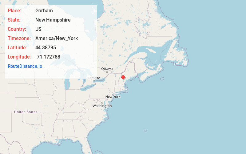
Full AddressGorham, NH 03581
-
Coordinates44.3879504, -71.1727881
-
LocationGorham , New Hampshire , US
-
TimezoneAmerica/New_York
-
Current Local Time1:22:18 PM America/New_YorkWednesday, June 18, 2025
-
Website
-
Page Views0
About Gorham
Gorham is a town in Coös County, New Hampshire, United States. The population was 2,698 at the 2020 census. Gorham is located in the White Mountains, and parts of the White Mountain National Forest are in the south and northwest. Moose Brook State Park is in the west. Tourism is a principal business.


Nearby Places
Found 10 places within 50 miles

Berlin
5.6 mi
9.0 km
Berlin, NH
Get directions

Lancaster
20.7 mi
33.3 km
Lancaster, NH
Get directions

Bartlett
21.9 mi
35.2 km
Bartlett, NH
Get directions

Fryeburg
27.2 mi
43.8 km
Fryeburg, ME 04037
Get directions

Conway
28.4 mi
45.7 km
Conway, NH
Get directions

Littleton
30.1 mi
48.4 km
Littleton, NH 03561
Get directions

Bridgton
32.4 mi
52.1 km
Bridgton, ME
Get directions

Rumford
32.7 mi
52.6 km
Rumford, ME 04276
Get directions

Mexico
33.2 mi
53.4 km
Mexico, ME
Get directions

Norway
33.5 mi
53.9 km
Norway, ME 04268
Get directions
Location Links
Local Weather
Weather Information
Coming soon!
Location Map
Static map view of Gorham, New Hampshire
Browse Places by Distance
Places within specific distances from Gorham
Short Distances
Long Distances
Click any distance to see all places within that range from Gorham. Distances shown in miles (1 mile ≈ 1.61 kilometers).