Distance to Whitefield, New Hampshire

Calculating Your Route
Just a moment while we process your request...
Location Information
-
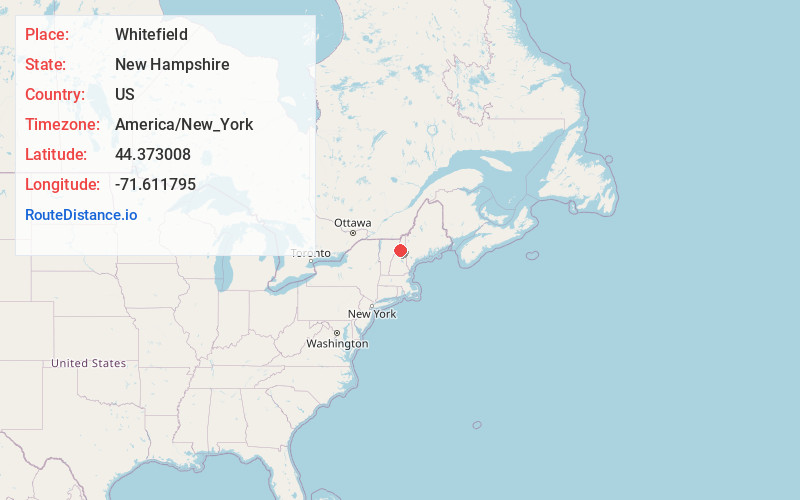
Full AddressWhitefield, NH
-
Coordinates44.3730082, -71.6117949
-
LocationWhitefield , New Hampshire , US
-
TimezoneAmerica/New_York
-
Current Local Time7:55:58 PM America/New_YorkWednesday, June 18, 2025
-
Page Views0
About Whitefield
Whitefield is a town in Coös County, New Hampshire, United States, in the White Mountains Region. The population was 2,490 at the 2020 census. Situated on the northern edge of the White Mountains, Whitefield is home to the Mount Washington Regional Airport and the White Mountains Regional High School.


Nearby Places
Found 10 places within 50 miles

Lancaster
8.2 mi
13.2 km
Lancaster, NH
Get directions

Littleton
9.1 mi
14.6 km
Littleton, NH 03561
Get directions

St Johnsbury
20.2 mi
32.5 km
St Johnsbury, VT
Get directions

Gorham
21.7 mi
34.9 km
Gorham, NH 03581
Get directions

Berlin
22.1 mi
35.6 km
Berlin, NH
Get directions

Lyndon
22.5 mi
36.2 km
Lyndon, VT
Get directions

Bartlett
27.9 mi
44.9 km
Bartlett, NH
Get directions

Haverhill
32.4 mi
52.1 km
Haverhill, NH
Get directions

Thornton
33.3 mi
53.6 km
Thornton, NH
Get directions

Conway
36.6 mi
58.9 km
Conway, NH
Get directions
Location Links
Local Weather
Weather Information
Coming soon!
Location Map
Static map view of Whitefield, New Hampshire
Browse Places by Distance
Places within specific distances from Whitefield
Short Distances
Long Distances
Click any distance to see all places within that range from Whitefield. Distances shown in miles (1 mile ≈ 1.61 kilometers).