Distance to Thornton, New Hampshire

Calculating Your Route
Just a moment while we process your request...
Location Information
-
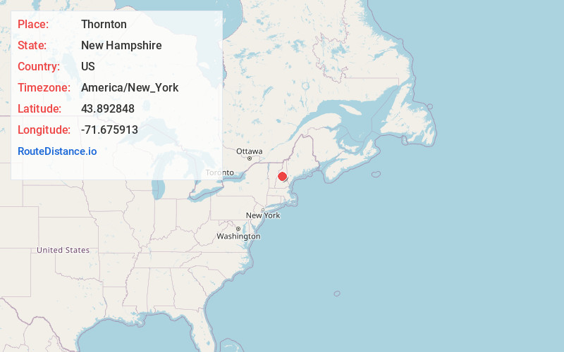
Full AddressThornton, NH
-
Coordinates43.8928475, -71.6759125
-
LocationThornton , New Hampshire , US
-
TimezoneAmerica/New_York
-
Current Local Time10:27:03 PM America/New_YorkWednesday, June 18, 2025
-
Website
-
Page Views0
About Thornton
Thornton is a town in Grafton County, New Hampshire, United States. The population was 2,708 at the 2020 census, up from 2,490 at the 2010 census.


Nearby Places
Found 10 places within 50 miles

Campton
5.1 mi
8.2 km
Campton, NH 03223
Get directions

Plymouth
9.4 mi
15.1 km
Plymouth, NH 03264
Get directions

Moultonborough
16.9 mi
27.2 km
Moultonborough, NH
Get directions

Meredith
18.4 mi
29.6 km
Meredith, NH
Get directions

Tamworth
20.7 mi
33.3 km
Tamworth, NH
Get directions

Bristol
21.1 mi
34.0 km
Bristol, NH 03222
Get directions

Haverhill
21.6 mi
34.8 km
Haverhill, NH
Get directions

Canaan
23.8 mi
38.3 km
Canaan, NH 03741
Get directions

Bartlett
25.3 mi
40.7 km
Bartlett, NH
Get directions

Gilford
25.8 mi
41.5 km
Gilford, NH 03249
Get directions
Location Links
Local Weather
Weather Information
Coming soon!
Location Map
Static map view of Thornton, New Hampshire
Browse Places by Distance
Places within specific distances from Thornton
Short Distances
Long Distances
Click any distance to see all places within that range from Thornton. Distances shown in miles (1 mile ≈ 1.61 kilometers).