Distance to Bristol, New Hampshire

Calculating Your Route
Just a moment while we process your request...
Location Information
-
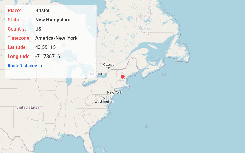
Full AddressBristol, NH 03222
-
Coordinates43.5911499, -71.7367162
-
LocationBristol , New Hampshire , US
-
TimezoneAmerica/New_York
-
Current Local Time12:03:06 PM America/New_YorkThursday, June 19, 2025
-
Website
-
Page Views0
About Bristol
Bristol is a town in Grafton County, New Hampshire, United States. The population was 3,244 at the 2020 census. It is home to Wellington State Park, Sugar Hill State Forest, and Profile Falls on the Smith River. Surrounded by hills and lakes, Bristol includes the lower two-thirds of Newfound Lake, a resort area.


Nearby Places
Found 10 places within 50 miles

Franklin
11.1 mi
17.9 km
Franklin, NH
Get directions

Plymouth
11.7 mi
18.8 km
Plymouth, NH 03264
Get directions

Tilton
12.6 mi
20.3 km
Tilton, NH
Get directions

Meredith
12.7 mi
20.4 km
Meredith, NH
Get directions

Northfield
13.0 mi
20.9 km
Northfield, NH
Get directions

Laconia
14.0 mi
22.5 km
Laconia, NH
Get directions

New London
16.4 mi
26.4 km
New London, NH
Get directions

Belmont
16.5 mi
26.6 km
Belmont, NH 03220
Get directions

Campton
16.6 mi
26.7 km
Campton, NH 03223
Get directions

Gilford
16.8 mi
27.0 km
Gilford, NH 03249
Get directions
Location Links
Local Weather
Weather Information
Coming soon!
Location Map
Static map view of Bristol, New Hampshire
Browse Places by Distance
Places within specific distances from Bristol
Short Distances
Long Distances
Click any distance to see all places within that range from Bristol. Distances shown in miles (1 mile ≈ 1.61 kilometers).