Distance to Laconia, New Hampshire

Calculating Your Route
Just a moment while we process your request...
Location Information
-
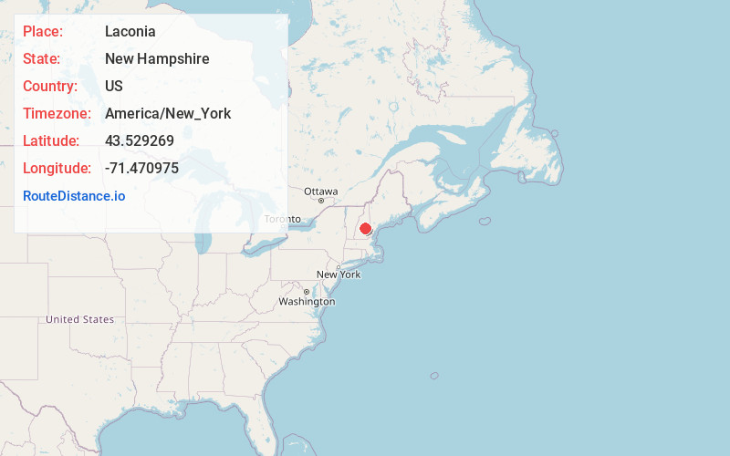
Full AddressLaconia, NH
-
Coordinates43.5292687, -71.4709749
-
LocationLaconia , New Hampshire , US
-
TimezoneAmerica/New_York
-
Current Local Time5:16:33 PM America/New_YorkThursday, June 5, 2025
-
Website
-
Page Views0
About Laconia
Laconia is a city in Belknap County, New Hampshire, United States. The population was 16,871 at the 2020 census, up from 15,951 at the 2010 census. It is the county seat of Belknap County. Laconia, situated between Lake Winnipesaukee and Lake Winnisquam, includes the villages of Lakeport and Weirs Beach.


Nearby Places
Found 10 places within 50 miles

Concord
22.6 mi
36.4 km
Concord, NH
Get directions

Rochester
29.3 mi
47.2 km
Rochester, NH
Get directions

Sanford
35.4 mi
57.0 km
Sanford, ME
Get directions

Goffstown
35.8 mi
57.6 km
Goffstown, NH
Get directions

Manchester
36.9 mi
59.4 km
Manchester, NH
Get directions

Dover
37.7 mi
60.7 km
Dover, NH 03820
Get directions

Bedford
40.3 mi
64.9 km
Bedford, NH
Get directions

Derry
45.3 mi
72.9 km
Derry, NH 03038
Get directions

Merrimack
45.8 mi
73.7 km
Merrimack, NH
Get directions

Londonderry
47.5 mi
76.4 km
Londonderry, NH
Get directions
Location Links
Local Weather
Weather Information
Coming soon!
Location Map
Static map view of Laconia, New Hampshire
Browse Places by Distance
Places within specific distances from Laconia
Short Distances
Long Distances
Click any distance to see all places within that range from Laconia. Distances shown in miles (1 mile ≈ 1.61 kilometers).