Distance to Tilton, New Hampshire

Calculating Your Route
Just a moment while we process your request...
Location Information
-
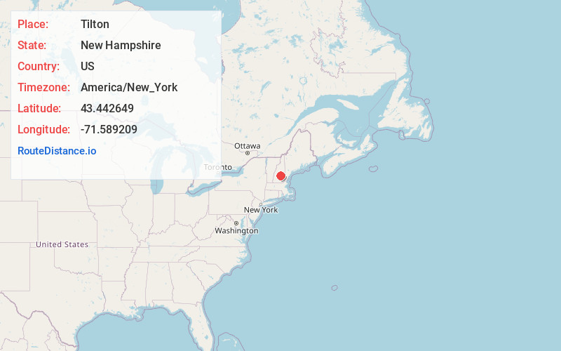
Full AddressTilton, NH
-
Coordinates43.4426486, -71.589209
-
LocationTilton , New Hampshire , US
-
TimezoneAmerica/New_York
-
Current Local Time11:20:19 PM America/New_YorkThursday, June 19, 2025
-
Page Views0
About Tilton
Tilton is a town on the Winnipesaukee River in Belknap County, New Hampshire, United States. The population was 3,962 at the 2020 census, up from 3,567 at the 2010 census. It includes the village of Tilton and part of the villages of Winnisquam and Lochmere.


Nearby Places
Found 10 places within 50 miles

Northfield
0.5 mi
0.8 km
Northfield, NH
Get directions

Franklin
2.9 mi
4.7 km
Franklin, NH
Get directions

Belmont
5.6 mi
9.0 km
Belmont, NH 03220
Get directions

Laconia
8.4 mi
13.5 km
Laconia, NH
Get directions

Boscawen
8.5 mi
13.7 km
Boscawen, NH
Get directions

Gilmanton
8.9 mi
14.3 km
Gilmanton, NH
Get directions

Loudon
12.5 mi
20.1 km
Loudon, NH
Get directions

Gilford
13.3 mi
21.4 km
Gilford, NH 03249
Get directions

Meredith
15.6 mi
25.1 km
Meredith, NH
Get directions

Pittsfield
16.3 mi
26.2 km
Pittsfield, NH
Get directions
Location Links
Local Weather
Weather Information
Coming soon!
Location Map
Static map view of Tilton, New Hampshire
Browse Places by Distance
Places within specific distances from Tilton
Short Distances
Long Distances
Click any distance to see all places within that range from Tilton. Distances shown in miles (1 mile ≈ 1.61 kilometers).