Distance to Monroe, New Hampshire

Calculating Your Route
Just a moment while we process your request...
Location Information
-
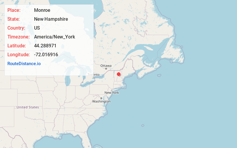
Full AddressMonroe, NH
-
Coordinates44.2889709, -72.0169156
-
LocationMonroe , New Hampshire , US
-
TimezoneAmerica/New_York
-
Current Local Time5:27:34 AM America/New_YorkWednesday, June 18, 2025
-
Website
-
Page Views0
About Monroe
Monroe is a town in Grafton County, New Hampshire, United States. The population was 864 at the 2020 census, up from 788 at the 2010 census. The town is located along the Connecticut River, across from Barnet, Vermont. It was originally chartered as part of Lyman.
Nearby Places
Found 10 places within 50 miles

Barnet
1.7 mi
2.7 km
Barnet, VT
Get directions

Ryegate
6.0 mi
9.7 km
Ryegate, VT
Get directions

Lisbon
7.4 mi
11.9 km
Lisbon, NH
Get directions

Bath
8.8 mi
14.2 km
Bath, NH
Get directions

St Johnsbury
9.0 mi
14.5 km
St Johnsbury, VT
Get directions

Waterford
9.2 mi
14.8 km
Waterford, VT 05819
Get directions

Groton
10.4 mi
16.7 km
Groton, VT
Get directions

Danville
10.4 mi
16.7 km
Danville, VT
Get directions

Concord
11.6 mi
18.7 km
Concord, VT
Get directions

Littleton
12.3 mi
19.8 km
Littleton, NH 03561
Get directions
Location Links
Local Weather
Weather Information
Coming soon!
Location Map
Static map view of Monroe, New Hampshire
Browse Places by Distance
Places within specific distances from Monroe
Short Distances
Long Distances
Click any distance to see all places within that range from Monroe. Distances shown in miles (1 mile ≈ 1.61 kilometers).