Distance to Berea, South Carolina

Calculating Your Route
Just a moment while we process your request...
Location Information
-
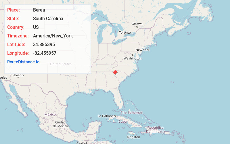
Full AddressBerea, SC
-
Coordinates34.885395, -82.4559571
-
LocationBerea , South Carolina , US
-
TimezoneAmerica/New_York
-
Current Local Time2:30:33 PM America/New_YorkFriday, June 13, 2025
-
Page Views0
About Berea
Berea is a census-designated place in Greenville County, South Carolina, United States. The population was 14,295 at the 2010 census. It is part of the Greenville–Mauldin–Easley Metropolitan Statistical Area.


Nearby Places
Found 10 places within 50 miles

Greenville
4.1 mi
6.6 km
Greenville, SC
Get directions

Wade Hampton
7.1 mi
11.4 km
Wade Hampton, SC
Get directions

Easley
9.1 mi
14.6 km
Easley, SC
Get directions

Taylors
9.4 mi
15.1 km
Taylors, SC
Get directions

Mauldin
11.1 mi
17.9 km
Mauldin, SC
Get directions

Greer
13.5 mi
21.7 km
Greer, SC
Get directions

Five Forks
14.0 mi
22.5 km
Five Forks, SC
Get directions

Simpsonville
15.4 mi
24.8 km
Simpsonville, SC
Get directions

Clemson
25.8 mi
41.5 km
Clemson, SC
Get directions

Anderson
28.6 mi
46.0 km
Anderson, SC
Get directions
Location Links
Local Weather
Weather Information
Coming soon!
Location Map
Static map view of Berea, South Carolina
Browse Places by Distance
Places within specific distances from Berea
Short Distances
Long Distances
Click any distance to see all places within that range from Berea. Distances shown in miles (1 mile ≈ 1.61 kilometers).