Distance to Bermuda Dunes, California

Calculating Your Route
Just a moment while we process your request...
Location Information
-
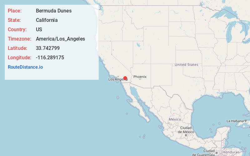
Full AddressBermuda Dunes, CA 92203
-
Coordinates33.7427991, -116.2891752
-
LocationBermuda Dunes , California , US
-
TimezoneAmerica/Los_Angeles
-
Current Local Time4:15:13 PM America/Los_AngelesWednesday, June 18, 2025
-
Page Views0
About Bermuda Dunes
Bermuda Dunes is a census-designated place in Riverside County, California. The population was 7,282 at the 2010 census. Situated approximately 19 miles east of Palm Springs, Bermuda Dunes is located in the mid-valley area of the Coachella Valley, between the cities of Palm Desert, La Quinta, and Indio.


Nearby Places
Found 10 places within 50 miles

Indio
4.5 mi
7.2 km
Indio, CA
Get directions

Palm Desert
5.1 mi
8.2 km
Palm Desert, CA
Get directions

La Quinta
5.6 mi
9.0 km
La Quinta, CA
Get directions

Rancho Mirage
7.1 mi
11.4 km
Rancho Mirage, CA 92270
Get directions

Thousand Palms
7.9 mi
12.7 km
Thousand Palms, CA
Get directions

Coachella
7.9 mi
12.7 km
Coachella, CA
Get directions

Cathedral City
10.5 mi
16.9 km
Cathedral City, CA
Get directions

Palm Springs
13.9 mi
22.4 km
Palm Springs, CA
Get directions

Garnet
16.9 mi
27.2 km
Garnet, CA
Get directions

Yucca Valley
26.9 mi
43.3 km
Yucca Valley, CA 92284
Get directions
Location Links
Local Weather
Weather Information
Coming soon!
Location Map
Static map view of Bermuda Dunes, California
Browse Places by Distance
Places within specific distances from Bermuda Dunes
Short Distances
Long Distances
Click any distance to see all places within that range from Bermuda Dunes. Distances shown in miles (1 mile ≈ 1.61 kilometers).