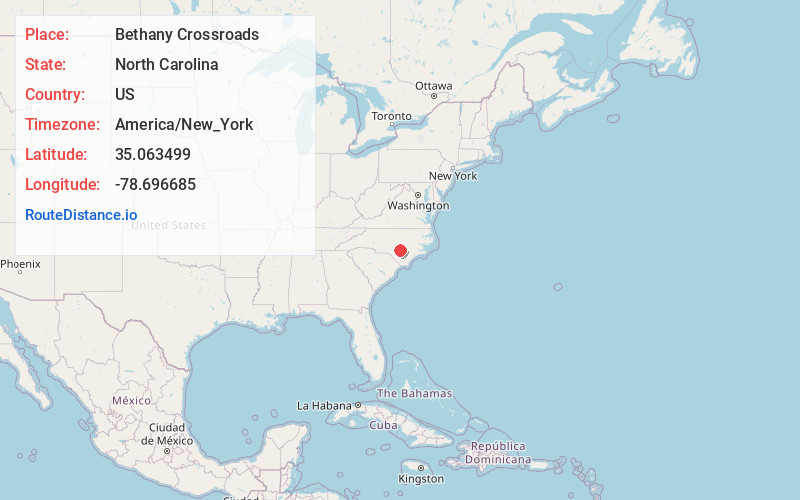
Distance to Bethany Crossroads, North Carolina

Calculating Your Route
Just a moment while we process your request...
Location Information
-
Full AddressBethany Crossroads, Cape Fear, NC 28391
-
Coordinates35.0634992, -78.6966846
-
NeighborhoodCape Fear
-
LocationCape Fear , North Carolina , US
-
TimezoneAmerica/New_York
-
Current Local Time5:52:38 PM America/New_YorkTuesday, June 17, 2025
-
Page Views0
Nearby Places
Found 10 places within 50 miles

Autryville
5.5 mi
8.9 km
Autryville, NC
Get directions
Falcon
9.2 mi
14.8 km
Falcon, NC
Get directions

Fayetteville
10.3 mi
16.6 km
Fayetteville, NC
Get directions
Salemburg
11.4 mi
18.3 km
Salemburg, NC 28385
Get directions

Roseboro
13.1 mi
21.1 km
Roseboro, NC 28382
Get directions
Plain View
15.1 mi
24.3 km
Plain View, NC 28334
Get directions

Hope Mills
15.6 mi
25.1 km
Hope Mills, NC
Get directions
Mintz
17.1 mi
27.5 km
Mintz, NC 28382
Get directions

Dunn
17.5 mi
28.2 km
Dunn, NC 28334
Get directions
Bunnlevel
17.6 mi
28.3 km
Bunnlevel, NC 28323
Get directions
Location Links
Local Weather
Weather Information
Coming soon!
Location Map
Static map view of Bethany Crossroads, North Carolina
Browse Places by Distance
Places within specific distances from Bethany Crossroads
Short Distances
Long Distances
Click any distance to see all places within that range from Bethany Crossroads. Distances shown in miles (1 mile ≈ 1.61 kilometers).