Distance to and from Bunnlevel, North Carolina
Bunnlevel, NC 28323
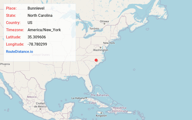
Bunnlevel
North Carolina
US
America/New_York
Location Information
-
Full AddressBunnlevel, NC 28323
-
Coordinates35.3096063, -78.7802994
-
LocationBunnlevel , North Carolina , US
-
TimezoneAmerica/New_York
-
Current Local Time2:27:11 PM America/New_YorkSaturday, May 3, 2025
-
Page Views0
Directions to Nearest Cities
About Bunnlevel
Bunnlevel is an unincorporated community and census-designated place along U.S. Highway 401 in Stewarts Creek Township, Harnett County, North Carolina, United States. The population was 552 at the 2010 census.
Nearby Places
Found 10 places within 50 miles

Erwin
6.0 mi
9.7 km
Erwin, NC
Get directions

Lillington
6.5 mi
10.5 km
Lillington, NC
Get directions

Buies Creek
7.6 mi
12.2 km
Buies Creek, NC 27546
Get directions

Anderson Creek
7.9 mi
12.7 km
Anderson Creek, NC
Get directions

Coats
9.1 mi
14.6 km
Coats, NC
Get directions

Dunn
9.7 mi
15.6 km
Dunn, NC 28334
Get directions
Plain View
13.4 mi
21.6 km
Plain View, NC 28334
Get directions

Angier
13.8 mi
22.2 km
Angier, NC
Get directions

Benson
14.0 mi
22.5 km
Benson, NC 27504
Get directions

Spring Lake
15.8 mi
25.4 km
Spring Lake, NC
Get directions
Erwin
6.0 mi
9.7 km
Erwin, NC
Lillington
6.5 mi
10.5 km
Lillington, NC
Buies Creek
7.6 mi
12.2 km
Buies Creek, NC 27546
Anderson Creek
7.9 mi
12.7 km
Anderson Creek, NC
Coats
9.1 mi
14.6 km
Coats, NC
Dunn
9.7 mi
15.6 km
Dunn, NC 28334
Plain View
13.4 mi
21.6 km
Plain View, NC 28334
Angier
13.8 mi
22.2 km
Angier, NC
Benson
14.0 mi
22.5 km
Benson, NC 27504
Spring Lake
15.8 mi
25.4 km
Spring Lake, NC
Location Links
Local Weather
Weather Information
Coming soon!
Location Map
Static map view of Bunnlevel, North Carolina
Browse Places by Distance
Places within specific distances from Bunnlevel
Short Distances
Long Distances
Click any distance to see all places within that range from Bunnlevel. Distances shown in miles (1 mile ≈ 1.61 kilometers).