Distance to Coats, North Carolina

Calculating Your Route
Just a moment while we process your request...
Location Information
-
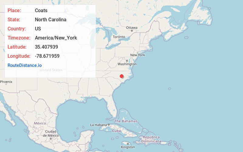
Full AddressCoats, NC
-
Coordinates35.4079393, -78.6719592
-
LocationCoats , North Carolina , US
-
TimezoneAmerica/New_York
-
Current Local Time10:58:15 AM America/New_YorkWednesday, June 4, 2025
-
Website
-
Page Views0
About Coats
Coats is a town in Harnett County, North Carolina, United States. The population was 2,155 at the 2020 census. Coats is a part of the Anderson Creek Micropolitan Area, which is a part of the greater Raleigh–Durham–Cary Combined Statistical Area as defined by the United States Census Bureau.


Nearby Places
Found 10 places within 50 miles

Buies Creek
3.6 mi
5.8 km
Buies Creek, NC 27546
Get directions

Erwin
5.6 mi
9.0 km
Erwin, NC
Get directions

Benson
7.2 mi
11.6 km
Benson, NC 27504
Get directions

Angier
7.8 mi
12.6 km
Angier, NC
Get directions

Dunn
7.9 mi
12.7 km
Dunn, NC 28334
Get directions

Lillington
8.1 mi
13.0 km
Lillington, NC
Get directions

Fuquay-Varina
14.2 mi
22.9 km
Fuquay-Varina, NC
Get directions

Anderson Creek
16.3 mi
26.2 km
Anderson Creek, NC
Get directions

Holly Springs
19.1 mi
30.7 km
Holly Springs, NC
Get directions

Smithfield
20.0 mi
32.2 km
Smithfield, NC
Get directions
Location Links
Local Weather
Weather Information
Coming soon!
Location Map
Static map view of Coats, North Carolina
Browse Places by Distance
Places within specific distances from Coats
Short Distances
Long Distances
Click any distance to see all places within that range from Coats. Distances shown in miles (1 mile ≈ 1.61 kilometers).