Distance to Benson, North Carolina

Calculating Your Route
Just a moment while we process your request...
Location Information
-
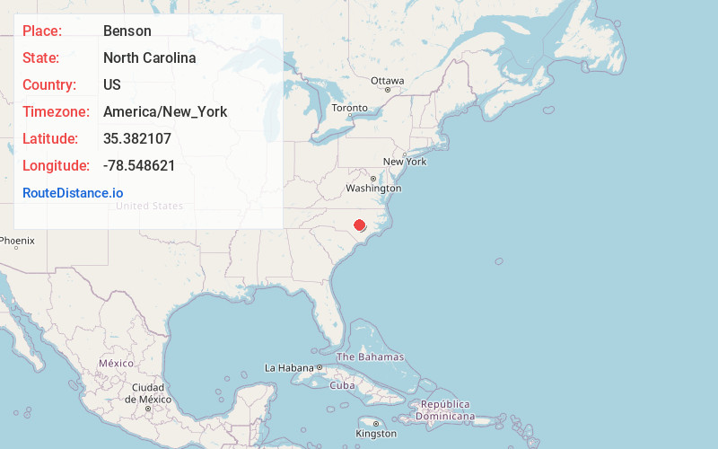
Full AddressBenson, NC 27504
-
Coordinates35.3821067, -78.548621
-
LocationBenson , North Carolina , US
-
TimezoneAmerica/New_York
-
Current Local Time1:55:23 AM America/New_YorkWednesday, June 18, 2025
-
Website
-
Page Views0
About Benson
Benson is a town in Johnston County, North Carolina, United States, near the intersection of Interstates 95 and 40. Benson celebrates Mule Days on the fourth Saturday of September, a festival that attracts over 60,000 people each year. At the 2020 census, the population was 3,967.


Nearby Places
Found 10 places within 50 miles

Dunn
6.2 mi
10.0 km
Dunn, NC 28334
Get directions

Erwin
8.1 mi
13.0 km
Erwin, NC
Get directions

Angier
13.8 mi
22.2 km
Angier, NC
Get directions

Smithfield
14.7 mi
23.7 km
Smithfield, NC
Get directions

Lillington
15.1 mi
24.3 km
Lillington, NC
Get directions

Selma
18.3 mi
29.5 km
Selma, NC
Get directions

Clayton
19.3 mi
31.1 km
Clayton, NC
Get directions

Fuquay-Varina
19.9 mi
32.0 km
Fuquay-Varina, NC
Get directions

Anderson Creek
21.9 mi
35.2 km
Anderson Creek, NC
Get directions

Garner
23.0 mi
37.0 km
Garner, NC
Get directions
Location Links
Local Weather
Weather Information
Coming soon!
Location Map
Static map view of Benson, North Carolina
Browse Places by Distance
Places within specific distances from Benson
Short Distances
Long Distances
Click any distance to see all places within that range from Benson. Distances shown in miles (1 mile ≈ 1.61 kilometers).