Distance to Bethel, Pennsylvania

Calculating Your Route
Just a moment while we process your request...
Location Information
-
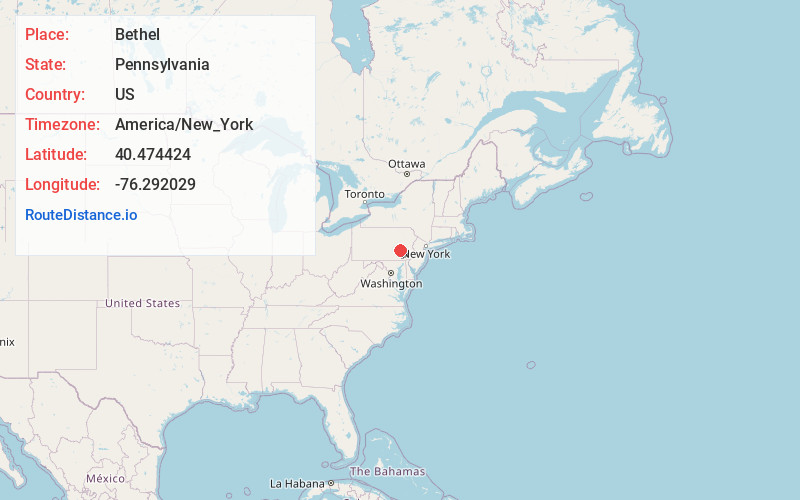
Full AddressBethel, PA 19507
-
Coordinates40.4744241, -76.2920293
-
LocationBethel , Pennsylvania , US
-
TimezoneAmerica/New_York
-
Current Local Time5:03:45 PM America/New_YorkWednesday, July 2, 2025
-
Page Views0
About Bethel
Bethel is a census-designated place in Bethel Township, Berks County, Pennsylvania, United States. It is located at the junction of Interstate 78/U.S. Route 22 and Pennsylvania Route 501. It is in the Susquehanna watershed and drained southward into the Little Swatara Creek. Its area code is 717.


Nearby Places
Found 10 places within 50 miles

Richland
8.5 mi
13.7 km
Richland, PA
Get directions

North Lebanon Township
10.1 mi
16.3 km
North Lebanon Township, PA
Get directions

Lebanon
11.7 mi
18.8 km
Lebanon, PA
Get directions

South Lebanon Township
12.7 mi
20.4 km
South Lebanon Township, PA
Get directions

Pottsville
15.6 mi
25.1 km
Pottsville, PA 17901
Get directions
East Cocalico Township
19.9 mi
32.0 km
East Cocalico Township, PA
Get directions

Wyomissing
19.9 mi
32.0 km
Wyomissing, PA
Get directions

Ephrata
21.2 mi
34.1 km
Ephrata, PA 17522
Get directions

Reading
21.7 mi
34.9 km
Reading, PA
Get directions

Lititz
21.9 mi
35.2 km
Lititz, PA 17543
Get directions
Location Links
Local Weather
Weather Information
Coming soon!
Location Map
Static map view of Bethel, Pennsylvania
Browse Places by Distance
Places within specific distances from Bethel
Short Distances
Long Distances
Click any distance to see all places within that range from Bethel. Distances shown in miles (1 mile ≈ 1.61 kilometers).