Distance to Bethlehem, Connecticut

Calculating Your Route
Just a moment while we process your request...
Location Information
-
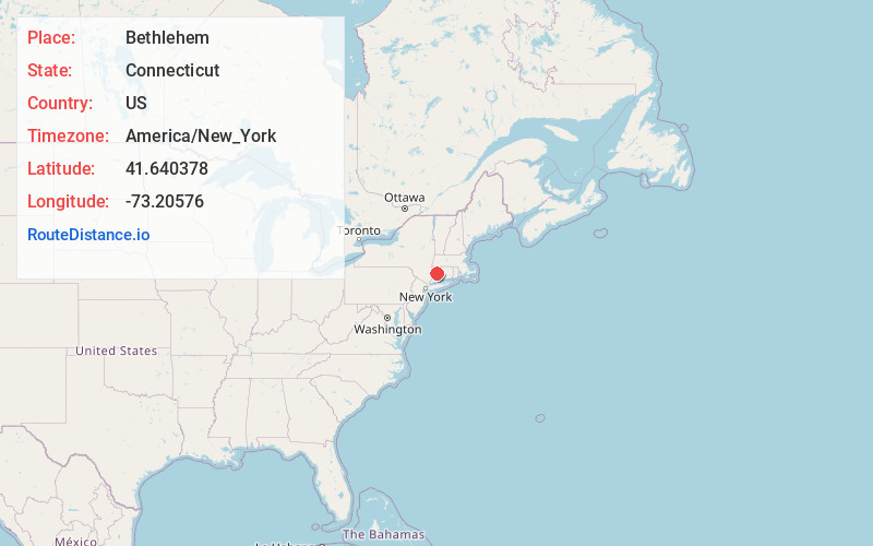
Full AddressBethlehem, CT
-
Coordinates41.640378, -73.2057595
-
LocationBethlehem , Connecticut , US
-
TimezoneAmerica/New_York
-
Current Local Time5:23:41 AM America/New_YorkWednesday, June 18, 2025
-
Website
-
Page Views0
About Bethlehem
Bethlehem is a town in Litchfield County, Connecticut, United States. The population was 3,385 at the 2020 census, down from 3,607 at the 2010 census. The town is part of the Naugatuck Valley Planning Region. The town center is a historic district and a census-designated place.


Nearby Places
Found 10 places within 50 miles

Morris
3.0 mi
4.8 km
Morris, CT
Get directions

East Morris
3.6 mi
5.8 km
East Morris, Morris, CT 06763
Get directions
Bell Hill
4.6 mi
7.4 km
Bell Hill, Washington, CT 06793
Get directions

Watertown
5.1 mi
8.2 km
Watertown, CT
Get directions
Hotchkissville Historic District
5.1 mi
8.2 km
Hotchkissville Historic District, Woodbury, CT 06798
Get directions

Washington
5.5 mi
8.9 km
Washington, CT
Get directions
Grappaville
5.7 mi
9.2 km
Grappaville, Litchfield, CT 06750
Get directions

Woodbury
6.6 mi
10.6 km
Woodbury, CT 06798
Get directions
Roxbury Station
8.6 mi
13.8 km
Roxbury Station, Roxbury, CT 06783
Get directions
Westview Heights
9.3 mi
15.0 km
Westview Heights, Middlebury, CT 06762
Get directions
Location Links
Local Weather
Weather Information
Coming soon!
Location Map
Static map view of Bethlehem, Connecticut
Browse Places by Distance
Places within specific distances from Bethlehem
Short Distances
Long Distances
Click any distance to see all places within that range from Bethlehem. Distances shown in miles (1 mile ≈ 1.61 kilometers).