Distance to Beyer, Pennsylvania

Calculating Your Route
Just a moment while we process your request...
Location Information
-
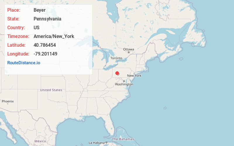
Full AddressBeyer, PA 15747
-
Coordinates40.7864535, -79.2011486
-
LocationBeyer , Pennsylvania , US
-
TimezoneAmerica/New_York
-
Current Local Time11:25:03 AM America/New_YorkMonday, June 2, 2025
-
Page Views0
About Beyer
Beyer is an unincorporated community in Indiana County, Pennsylvania, United States. The community is located on Pennsylvania Route 85 1 mile west-southwest of Plumville. Beyer has a post office with ZIP code 16211, which opened on May 13, 1918.
Nearby Places
Found 10 places within 50 miles

Plumville
1.2 mi
1.9 km
Plumville, PA
Get directions
Sagamore
1.5 mi
2.4 km
Sagamore, PA
Get directions
Hoosicks Mill
2.1 mi
3.4 km
Hoosicks Mill, Cowanshannock Township, PA 16222
Get directions
Denton
3.0 mi
4.8 km
Denton, South Mahoning Township, PA 16256
Get directions
Barnards
3.1 mi
5.0 km
Barnards, Cowanshannock Township, PA 16222
Get directions
Smeltzer
3.3 mi
5.3 km
Smeltzer, Cowanshannock Township, PA 16222
Get directions
South Mahoning Township
3.6 mi
5.8 km
South Mahoning Township, PA
Get directions
Davis
3.8 mi
6.1 km
Davis, Washington Township, PA 15747
Get directions
Willet
4.0 mi
6.4 km
Willet, Washington Township, PA 15732
Get directions
Atwood
4.1 mi
6.6 km
Atwood, PA
Get directions
Location Links
Local Weather
Weather Information
Coming soon!
Location Map
Static map view of Beyer, Pennsylvania
Browse Places by Distance
Places within specific distances from Beyer
Short Distances
Long Distances
Click any distance to see all places within that range from Beyer. Distances shown in miles (1 mile ≈ 1.61 kilometers).