Distance to Big Bend, West Virginia

Calculating Your Route
Just a moment while we process your request...
Location Information
-
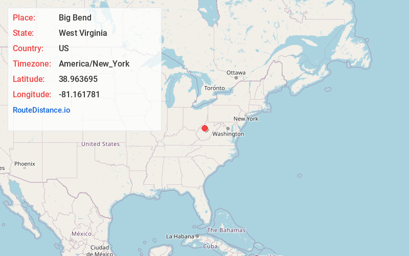
Full AddressBig Bend, WV 26136
-
Coordinates38.963695, -81.161781
-
LocationBig Bend , West Virginia , US
-
TimezoneAmerica/New_York
-
Current Local Time3:41:18 PM America/New_YorkFriday, June 20, 2025
-
Page Views0
About Big Bend
Big Bend is an unincorporated community in Calhoun County, West Virginia, United States. It lies along West Virginia Route 5 northwest of the town of Grantsville, the county seat of Calhoun County, along the Little Kanawha River. Its elevation is 682 feet. It has a post office with the ZIP code 26136.
Nearby Places
Found 10 places within 50 miles

Purdy
2.0 mi
3.2 km
Purdy, WV 26136
Get directions
Ayers
3.5 mi
5.6 km
Ayers, WV 26136
Get directions

Munday
3.7 mi
6.0 km
Munday, WV 26138
Get directions
Joker
4.0 mi
6.4 km
Joker, WV 26136
Get directions
Grantsville
4.5 mi
7.2 km
Grantsville, WV 26147
Get directions
Brohard
5.1 mi
8.2 km
Brohard, WV
Get directions
Pleasant Hill
5.5 mi
8.9 km
Pleasant Hill, WV 26147
Get directions
Cremo
6.0 mi
9.7 km
Cremo, WV 26141
Get directions
Mt Zion
7.3 mi
11.7 km
Mt Zion, WV 25261
Get directions
Henrietta
7.4 mi
11.9 km
Henrietta, WV 26147
Get directions
Location Links
Local Weather
Weather Information
Coming soon!
Location Map
Static map view of Big Bend, West Virginia
Browse Places by Distance
Places within specific distances from Big Bend
Short Distances
Long Distances
Click any distance to see all places within that range from Big Bend. Distances shown in miles (1 mile ≈ 1.61 kilometers).