Distance to Big Cypress National Preserve, Florida

Calculating Your Route
Just a moment while we process your request...
Location Information
-
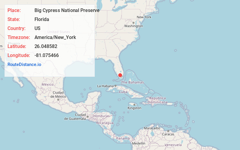
Full AddressBig Cypress National Preserve, 33100 Tamiami Trail E, Ochopee, FL 34141
-
Coordinates26.0485819, -81.0754657
-
Street33100 Tamiami Trail E
-
LocationOchopee , Florida , US
-
TimezoneAmerica/New_York
-
Current Local Time5:35:06 AM America/New_YorkWednesday, June 18, 2025
-
Website
-
Page Views0
About Big Cypress National Preserve
Vast preserved area of swampland with a variety of plant & animal life, plus ranger-led programs.


Nearby Places
Found 10 places within 50 miles

Mart Law Seminole Village
17.5 mi
28.2 km
Mart Law Seminole Village, FL
Get directions
Jessie Willies
22.6 mi
36.4 km
Jessie Willies, FL
Get directions

Chokoloskee
24.1 mi
38.8 km
Chokoloskee, FL 34138
Get directions
Fortymile Bend
25.1 mi
40.4 km
Fortymile Bend, FL 33194
Get directions
Chatham
25.4 mi
40.9 km
Chatham, FL
Get directions

Dinner Island
29.9 mi
48.1 km
Dinner Island, Florida 33440
Get directions
Old Grove
33.7 mi
54.2 km
Old Grove, FL 34114
Get directions
Frog City
35.7 mi
57.5 km
Frog City, FL 33194
Get directions

Goodland
36.4 mi
58.6 km
Goodland, FL
Get directions

Coopertown
37.7 mi
60.7 km
Coopertown, FL 33194
Get directions
Location Links
Local Weather
Weather Information
Coming soon!
Location Map
Static map view of Big Cypress National Preserve, Florida
Browse Places by Distance
Places within specific distances from Big Cypress National Preserve
Short Distances
Long Distances
Click any distance to see all places within that range from Big Cypress National Preserve. Distances shown in miles (1 mile ≈ 1.61 kilometers).