Distance to and from Chokoloskee, Florida
Chokoloskee, FL 34138
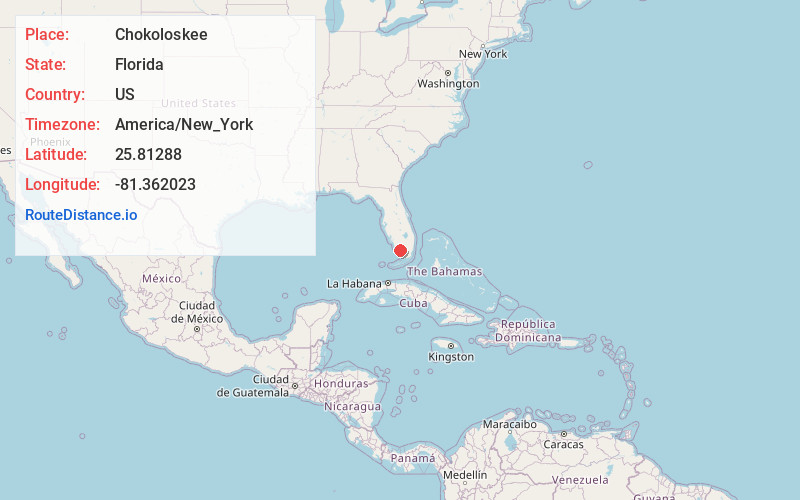
Chokoloskee
Florida
US
America/New_York
Location Information
-
Full AddressChokoloskee, FL 34138
-
Coordinates25.8128798, -81.3620233
-
LocationChokoloskee , Florida , US
-
TimezoneAmerica/New_York
-
Current Local Time12:50:21 PM America/New_YorkSaturday, May 3, 2025
-
Page Views0
Directions to Nearest Cities
About Chokoloskee
Chokoloskee is an unincorporated community and census-designated place located at the edge of the Ten Thousand Islands in Collier County, Florida, United States. The population was 345 at the 2020 census, down from 359 at the 2010 census. It is part of the Naples–Marco Island Metropolitan Statistical Area.


Nearby Places
Found 5 places within 50 miles

Marco Island
23.2 mi
37.3 km
Marco Island, FL
Get directions

Verona Walk
27.6 mi
44.4 km
Verona Walk, FL 34114
Get directions

Golden Gate
33.2 mi
53.4 km
Golden Gate, FL 34116
Get directions

Naples
35.1 mi
56.5 km
Naples, FL
Get directions

Bonita Springs
45.0 mi
72.4 km
Bonita Springs, FL
Get directions
Location Links
Local Weather
Weather Information
Coming soon!
Location Map
Static map view of Chokoloskee, Florida
Browse Places by Distance
Places within specific distances from Chokoloskee
Short Distances
Long Distances
Click any distance to see all places within that range from Chokoloskee. Distances shown in miles (1 mile ≈ 1.61 kilometers).