Distance to Naples, Florida

Calculating Your Route
Just a moment while we process your request...
Location Information
-
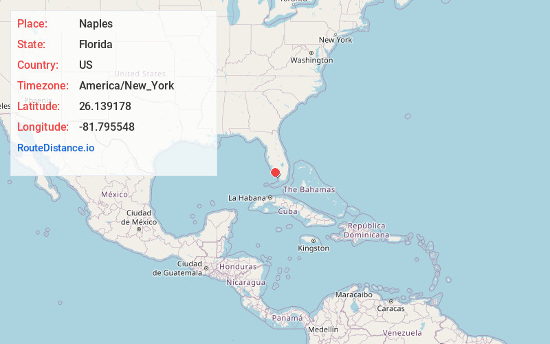
Full AddressNaples, FL
-
Coordinates26.1391777, -81.7955475
-
LocationNaples , Florida , US
-
TimezoneAmerica/New_York
-
Current Local Time5:22:21 PM America/New_YorkTuesday, June 17, 2025
-
Website
-
Page Views0
About Naples
Naples is a city on the Gulf of Mexico in southwest Florida that’s known for high-end shopping and golf courses. The Naples Pier, first erected in 1888, is the city’s symbol, and is a popular fishing and dolphin-spotting destination. It’s flanked by miles of beaches with calm waters and fine white “sugar” sand, including those at Clam Pass Park and Delnor-Wiggins Pass State Park.


Nearby Places
Found 7 places within 50 miles

Golden Gate
7.1 mi
11.4 km
Golden Gate, FL 34116
Get directions

Bonita Springs
13.2 mi
21.2 km
Bonita Springs, FL
Get directions

Estero
20.7 mi
33.3 km
Estero, FL
Get directions

San Carlos Park
22.7 mi
36.5 km
San Carlos Park, FL
Get directions

Fort Myers
34.9 mi
56.2 km
Fort Myers, FL
Get directions

Lehigh Acres
35.2 mi
56.6 km
Lehigh Acres, FL
Get directions

Cape Coral
35.4 mi
57.0 km
Cape Coral, FL
Get directions
Location Links
Local Weather
Weather Information
Coming soon!
Location Map
Static map view of Naples, Florida
Browse Places by Distance
Places within specific distances from Naples
Short Distances
Long Distances
Click any distance to see all places within that range from Naples. Distances shown in miles (1 mile ≈ 1.61 kilometers).