Distance to Marco Island, Florida

Calculating Your Route
Just a moment while we process your request...
Location Information
-
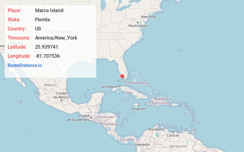
Full AddressMarco Island, FL
-
Coordinates25.9397412, -81.7075355
-
LocationMarco Island , Florida , US
-
TimezoneAmerica/New_York
-
Current Local Time1:10:26 PM America/New_YorkTuesday, June 17, 2025
-
Page Views0
About Marco Island
Marco Island is a barrier island in the Gulf of Mexico off Southwest Florida, linked to the mainland by bridges south of the city of Naples. It’s home to resort hotels, beaches, marinas and golf courses, as well as a network of inland waterways. A long, sandy beach covers most of the west coast, with resort hotels in the south. Tigertail Beach Park has a tidal lagoon, popular for kayaking and paddleboarding.


Nearby Places
Found 7 places within 50 miles

Naples
14.8 mi
23.8 km
Naples, FL
Get directions

Golden Gate
17.2 mi
27.7 km
Golden Gate, FL 34116
Get directions

Bonita Springs
27.6 mi
44.4 km
Bonita Springs, FL
Get directions

Estero
35.0 mi
56.3 km
Estero, FL
Get directions

San Carlos Park
36.9 mi
59.4 km
San Carlos Park, FL
Get directions

Lehigh Acres
47.7 mi
76.8 km
Lehigh Acres, FL
Get directions

Fort Myers
49.4 mi
79.5 km
Fort Myers, FL
Get directions
Location Links
Local Weather
Weather Information
Coming soon!
Location Map
Static map view of Marco Island, Florida
Browse Places by Distance
Places within specific distances from Marco Island
Short Distances
Long Distances
Click any distance to see all places within that range from Marco Island. Distances shown in miles (1 mile ≈ 1.61 kilometers).