Distance to Big Flats, Wisconsin

Calculating Your Route
Just a moment while we process your request...
Location Information
-
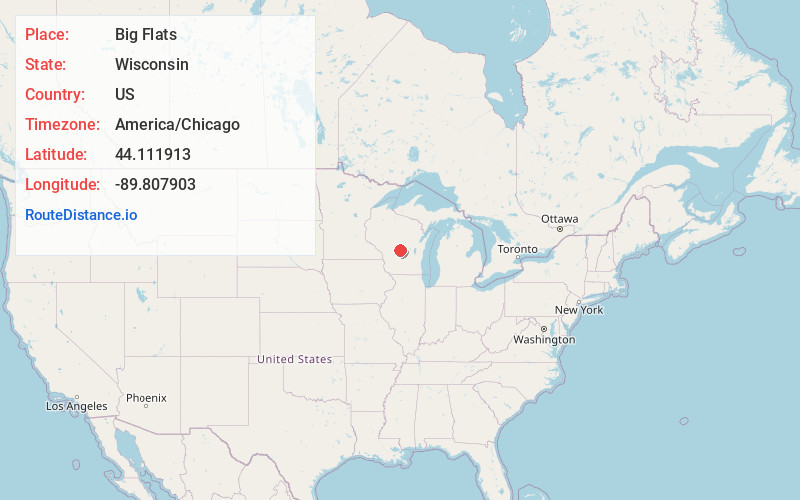
Full AddressBig Flats, WI 54613
-
Coordinates44.111913, -89.8079032
-
LocationBig Flats , Wisconsin , US
-
TimezoneAmerica/Chicago
-
Current Local Time7:41:46 PM America/ChicagoMonday, June 23, 2025
-
Page Views0
About Big Flats
Big Flats is a town in Adams County in the U.S. state of Wisconsin. The population was 948 at the 2020 census.
The unincorporated community of Big Flats is located in the town. Big Flats is located at the junction of Wisconsin Highway 13 and County Highway C 10 miles north of Friendship.
Nearby Places
Found 10 places within 50 miles

Preston
5.1 mi
8.2 km
Preston, WI 53934
Get directions

Lake Arrowhead
6.2 mi
10.0 km
Lake Arrowhead, WI 54457
Get directions

Lake Sherwood
6.5 mi
10.5 km
Lake Sherwood, WI 54457
Get directions

Arkdale
7.1 mi
11.4 km
Arkdale, WI 54613
Get directions

Lake Camelot
7.9 mi
12.7 km
Lake Camelot, WI 54457
Get directions

Friendship
9.8 mi
15.8 km
Friendship, WI 53934
Get directions

Adams
10.8 mi
17.4 km
Adams, WI
Get directions
Dellwood
11.0 mi
17.7 km
Dellwood, WI
Get directions

Hancock
14.2 mi
22.9 km
Hancock, WI 54943
Get directions

Necedah
14.5 mi
23.3 km
Necedah, WI 54646
Get directions
Location Links
Local Weather
Weather Information
Coming soon!
Location Map
Static map view of Big Flats, Wisconsin
Browse Places by Distance
Places within specific distances from Big Flats
Short Distances
Long Distances
Click any distance to see all places within that range from Big Flats. Distances shown in miles (1 mile ≈ 1.61 kilometers).