Distance to Big Rock, Virginia

Calculating Your Route
Just a moment while we process your request...
Location Information
-
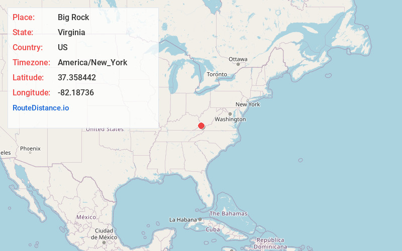
Full AddressBig Rock, VA 24603
-
Coordinates37.3584421, -82.1873595
-
LocationBig Rock , Virginia , US
-
TimezoneAmerica/New_York
-
Current Local Time1:08:48 PM America/New_YorkTuesday, June 10, 2025
-
Page Views0
About Big Rock
Big Rock is an unincorporated community and census-designated place in Buchanan County, Virginia, United States, located at the convergence of County Route 650 and U.S. Route 460, a short distance from the Kentucky state line. It was first listed as a CDP in the 2020 census with a population of 199.
Nearby Places
Found 10 places within 50 miles

Breaks
6.7 mi
10.8 km
Breaks, VA
Get directions

Grundy
7.4 mi
11.9 km
Grundy, VA 24614
Get directions

Elkhorn City
9.7 mi
15.6 km
Elkhorn City, KY
Get directions

Vansant
10.0 mi
16.1 km
Vansant, VA
Get directions

Phelps
10.9 mi
17.5 km
Phelps, KY 41553
Get directions

Haysi
12.1 mi
19.5 km
Haysi, VA
Get directions

Clinchco
16.6 mi
26.7 km
Clinchco, VA
Get directions

McCarr
17.9 mi
28.8 km
McCarr, KY 41544
Get directions

Matewan
18.3 mi
29.5 km
Matewan, WV
Get directions

Belfry
18.6 mi
29.9 km
Belfry, KY 41514
Get directions
Location Links
Local Weather
Weather Information
Coming soon!
Location Map
Static map view of Big Rock, Virginia
Browse Places by Distance
Places within specific distances from Big Rock
Short Distances
Long Distances
Click any distance to see all places within that range from Big Rock. Distances shown in miles (1 mile ≈ 1.61 kilometers).