Distance to Big Rock, Illinois

Calculating Your Route
Just a moment while we process your request...
Location Information
-
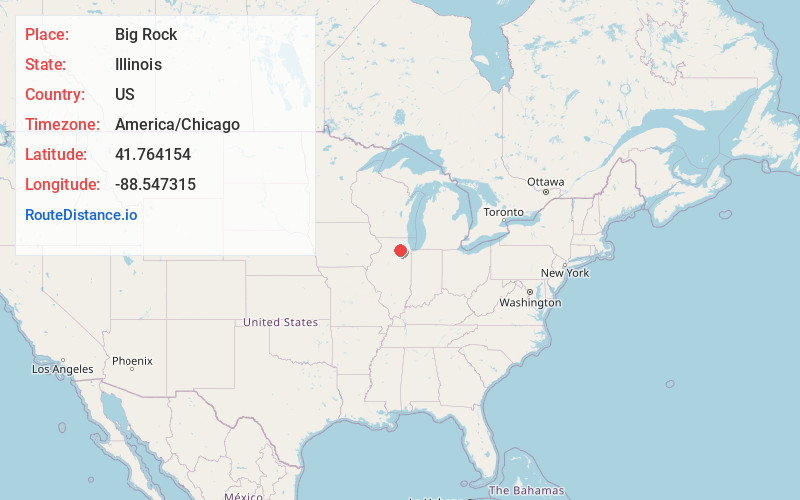
Full AddressBig Rock, IL
-
Coordinates41.764154, -88.5473148
-
LocationBig Rock , Illinois , US
-
TimezoneAmerica/Chicago
-
Current Local Time2:00:50 PM America/ChicagoMonday, June 23, 2025
-
Page Views0
About Big Rock
Big Rock is a village in Kane County, Illinois, United States. It is located approximately 50 miles due west of Chicago. It is between the villages of Hinckley and Sugar Grove.
The village was incorporated on July 26, 2001. As of the 2010 census it had a population of 1,126.


Nearby Places
Found 10 places within 50 miles

Hinckley
4.8 mi
7.7 km
Hinckley, IL 60520
Get directions

Prestbury
6.5 mi
10.5 km
Prestbury, IL 60554
Get directions

Plano
7.0 mi
11.3 km
Plano, IL 60545
Get directions

Sandwich
9.0 mi
14.5 km
Sandwich, IL
Get directions

Elburn
9.7 mi
15.6 km
Elburn, IL
Get directions

Yorkville
9.9 mi
15.9 km
Yorkville, IL
Get directions

Maple Park
10.3 mi
16.6 km
Maple Park, IL 60151
Get directions

Montgomery
10.6 mi
17.1 km
Montgomery, IL
Get directions

Somonauk
11.4 mi
18.3 km
Somonauk, IL
Get directions
Boulder Hill
11.5 mi
18.5 km
Boulder Hill, IL
Get directions
Location Links
Local Weather
Weather Information
Coming soon!
Location Map
Static map view of Big Rock, Illinois
Browse Places by Distance
Places within specific distances from Big Rock
Short Distances
Long Distances
Click any distance to see all places within that range from Big Rock. Distances shown in miles (1 mile ≈ 1.61 kilometers).