Distance to Biggs Junction, Oregon

Calculating Your Route
Just a moment while we process your request...
Location Information
-
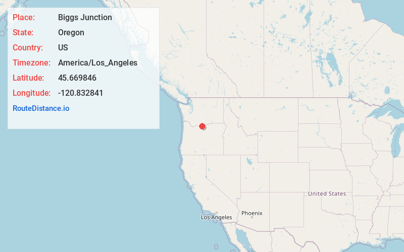
Full AddressBiggs Junction, OR 97065
-
Coordinates45.669846, -120.8328408
-
LocationBiggs Junction , Oregon , US
-
TimezoneAmerica/Los_Angeles
-
Current Local Time4:55:44 PM America/Los_AngelesWednesday, May 21, 2025
-
Page Views0
About Biggs Junction
Biggs Junction is an unincorporated community and census-designated place in Sherman County, Oregon, United States.
Biggs Junction is located on the south side of the Columbia River at the junction of Interstate 84/U.S. 30 and U.S. 97 where it crosses the Sam Hill Memorial Bridge over the river from Washington.


Nearby Places
Found 10 places within 50 miles

Maryhill
1.5 mi
2.4 km
Maryhill, WA 98620
Get directions

Rufus
5.0 mi
8.0 km
Rufus, OR
Get directions

Wishram
6.5 mi
10.5 km
Wishram, WA
Get directions

Centerville
6.7 mi
10.8 km
Centerville, WA 98613
Get directions

Wasco
8.5 mi
13.7 km
Wasco, OR 97065
Get directions

Goldendale
10.5 mi
16.9 km
Goldendale, WA 98620
Get directions

Moro
13.7 mi
22.0 km
Moro, OR
Get directions

Dallesport
17.1 mi
27.5 km
Dallesport, WA
Get directions

The Dalles
17.6 mi
28.3 km
The Dalles, OR 97058
Get directions

Klickitat
18.5 mi
29.8 km
Klickitat, WA
Get directions
Location Links
Local Weather
Weather Information
Coming soon!
Location Map
Static map view of Biggs Junction, Oregon
Browse Places by Distance
Places within specific distances from Biggs Junction
Short Distances
Long Distances
Click any distance to see all places within that range from Biggs Junction. Distances shown in miles (1 mile ≈ 1.61 kilometers).