Distance to Bingham, South Carolina

Calculating Your Route
Just a moment while we process your request...
Location Information
-
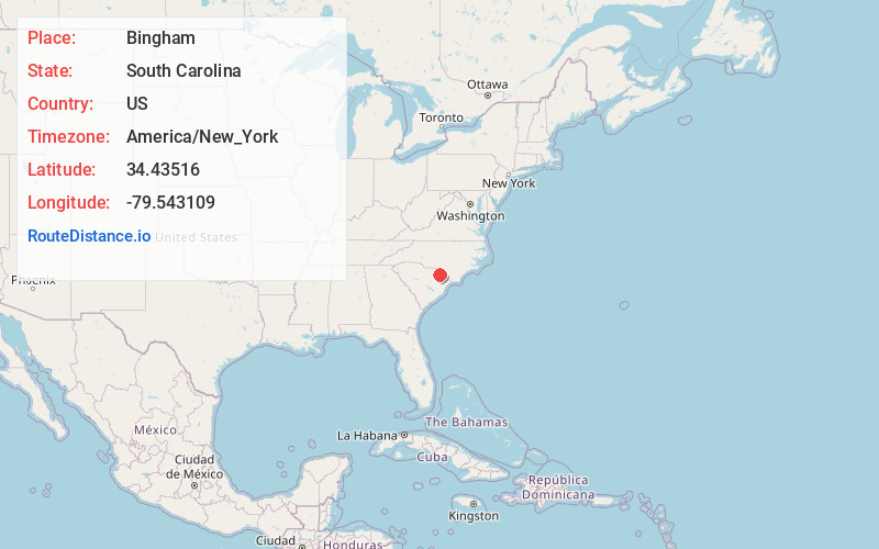
Full AddressBingham, SC 29565
-
Coordinates34.4351604, -79.5431088
-
LocationSouth Carolina , US
-
TimezoneAmerica/New_York
-
Current Local Time8:03:23 AM America/New_YorkFriday, May 30, 2025
-
Page Views0
About Bingham
Bingham was a historical community in Dillon County, South Carolina, in operation 1892 to 1941.
Selkirk Farm was listed on the National Register of Historic Places in 1974.
Nearby Places
Found 10 places within 50 miles

Galavon
6.7 mi
10.8 km
Galavon, SC 29536
Get directions
Genoa
6.9 mi
11.1 km
Genoa, SC 29516
Get directions
Bunker Hill
7.1 mi
11.4 km
Bunker Hill, SC 29536
Get directions

Blenheim
8.1 mi
13.0 km
Blenheim, SC
Get directions
Little Rock
8.5 mi
13.7 km
Little Rock, SC
Get directions

Latta
9.3 mi
15.0 km
Latta, SC 29565
Get directions

Dillon
9.9 mi
15.9 km
Dillon, SC 29536
Get directions
Monroe Crossroads
9.9 mi
15.9 km
Monroe Crossroads, SC 29516
Get directions
Clio
10.0 mi
16.1 km
Clio, SC 29525
Get directions
Sellers
11.2 mi
18.0 km
Sellers, SC 29592
Get directions
Location Links
Local Weather
Weather Information
Coming soon!
Location Map
Static map view of Bingham, South Carolina
Browse Places by Distance
Places within specific distances from Bingham
Short Distances
Long Distances
Click any distance to see all places within that range from Bingham. Distances shown in miles (1 mile ≈ 1.61 kilometers).