Distance to Blenheim, South Carolina

Calculating Your Route
Just a moment while we process your request...
Location Information
-
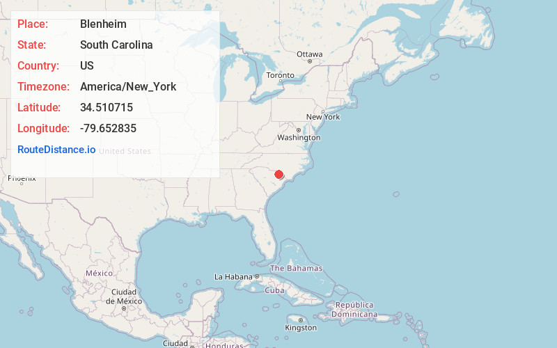
Full AddressBlenheim, SC
-
Coordinates34.5107147, -79.6528354
-
LocationBlenheim , South Carolina , US
-
TimezoneAmerica/New_York
-
Current Local Time9:46:55 AM America/New_YorkWednesday, June 18, 2025
-
Page Views0
About Blenheim
Blenheim is a town in Marlboro County, South Carolina, United States. The population was 154 at the 2010 census. It is named for Blenheim Palace in Oxfordshire, England. Blenheim Palace was the residence of the Duke of Marlborough, after whom Marlboro County is named.


Nearby Places
Found 10 places within 50 miles

Bennettsville
7.6 mi
12.2 km
Bennettsville, SC 29512
Get directions

Clio
7.7 mi
12.4 km
Clio, SC 29525
Get directions
Tatum
10.0 mi
16.1 km
Tatum, SC
Get directions

Society Hill
11.3 mi
18.2 km
Society Hill, SC 29593
Get directions
McColl
12.5 mi
20.1 km
McColl, SC 29570
Get directions
Little Rock
14.4 mi
23.2 km
Little Rock, SC
Get directions
Cash
15.4 mi
24.8 km
Cash, SC 29520
Get directions
Dovesville
15.7 mi
25.3 km
Dovesville, SC 29540
Get directions

Dillon
17.3 mi
27.8 km
Dillon, SC 29536
Get directions
Gibson
17.3 mi
27.8 km
Gibson, NC 28343
Get directions
Location Links
Local Weather
Weather Information
Coming soon!
Location Map
Static map view of Blenheim, South Carolina
Browse Places by Distance
Places within specific distances from Blenheim
Short Distances
Long Distances
Click any distance to see all places within that range from Blenheim. Distances shown in miles (1 mile ≈ 1.61 kilometers).