Distance to Birch Creek, Michigan

Calculating Your Route
Just a moment while we process your request...
Location Information
-
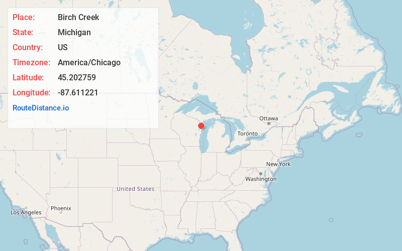
Full AddressBirch Creek, MI 49858
-
Coordinates45.2027586, -87.6112207
-
LocationBirch Creek , Michigan , US
-
TimezoneAmerica/Chicago
-
Current Local Time3:29:59 PM America/ChicagoThursday, May 22, 2025
-
Page Views0
About Birch Creek
Birch Creek is an unincorporated community in Menominee County, in the U.S. state of Michigan.
The community is on US Route 41 approximately four miles north of Menominee. The stream for which it is named flows past approximately one mile east of the village.
The community was named after nearby Birch Creek.
Nearby Places
Found 10 places within 50 miles

Eagles Nest
0.8 mi
1.3 km
Eagles Nest, MI 49858
Get directions
Hansen
2.5 mi
4.0 km
Hansen, MI 49858
Get directions
Kew
3.1 mi
5.0 km
Kew, MI 49858
Get directions
Ingallston
4.1 mi
6.6 km
Ingallston, MI 49858
Get directions
Carbondale
5.2 mi
8.4 km
Carbondale, MI 49893
Get directions

Menominee
6.6 mi
10.6 km
Menominee, MI 49858
Get directions

Marinette
7.2 mi
11.6 km
Marinette, WI 54143
Get directions
Walsh
7.5 mi
12.1 km
Walsh, WI 54159
Get directions

Wallace
8.5 mi
13.7 km
Wallace, MI 49893
Get directions
Goll
8.7 mi
14.0 km
Goll, WI 54159
Get directions
Location Links
Local Weather
Weather Information
Coming soon!
Location Map
Static map view of Birch Creek, Michigan
Browse Places by Distance
Places within specific distances from Birch Creek
Short Distances
Long Distances
Click any distance to see all places within that range from Birch Creek. Distances shown in miles (1 mile ≈ 1.61 kilometers).