Distance to Birdeye, Arkansas

Calculating Your Route
Just a moment while we process your request...
Location Information
-
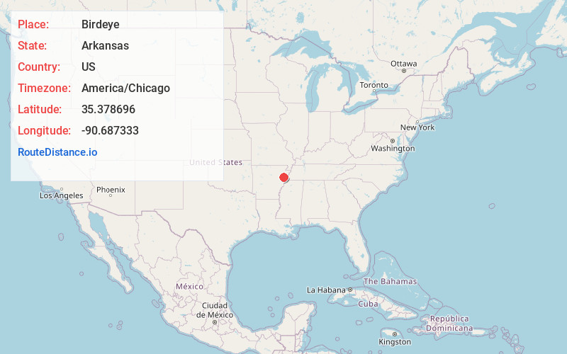
Full AddressBirdeye, AR 72324
-
Coordinates35.378696, -90.6873326
-
LocationBirdeye , Arkansas , US
-
TimezoneAmerica/Chicago
-
Current Local Time11:27:42 PM America/ChicagoSunday, June 1, 2025
-
Page Views0
About Birdeye
Birdeye is an unincorporated community in Cross County, Arkansas, United States. It is located at the intersection of Highway 42 and Highway 163. It is 5.6 miles from Cherry Valley, 7.9 miles from Vanndale and 14.3 miles from Wynne. The Arkansas State Veteran's Cemetery is 1 mile to the north.
Nearby Places
Found 10 places within 50 miles

Cherry Valley
4.1 mi
6.6 km
Cherry Valley, AR 72324
Get directions
Vanndale
6.6 mi
10.6 km
Vanndale, AR
Get directions
Stewart
8.4 mi
13.5 km
Stewart, AR 72472
Get directions
McDonald
8.9 mi
14.3 km
McDonald, AR 72373
Get directions
Levesque
9.0 mi
14.5 km
Levesque, AR 72396
Get directions
Twist
10.1 mi
16.3 km
Twist, AR 72331
Get directions

Parkin
10.7 mi
17.2 km
Parkin, AR 72373
Get directions
Wittsburg
11.1 mi
17.9 km
Wittsburg, AR 72396
Get directions

Wynne
12.1 mi
19.5 km
Wynne, AR 72396
Get directions
Smithdale
12.3 mi
19.8 km
Smithdale, AR 72373
Get directions
Location Links
Local Weather
Weather Information
Coming soon!
Location Map
Static map view of Birdeye, Arkansas
Browse Places by Distance
Places within specific distances from Birdeye
Short Distances
Long Distances
Click any distance to see all places within that range from Birdeye. Distances shown in miles (1 mile ≈ 1.61 kilometers).