Distance to Birmingham, Ohio

Calculating Your Route
Just a moment while we process your request...
Location Information
-
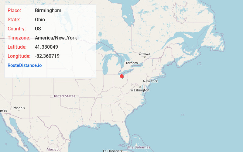
Full AddressBirmingham, OH 44889
-
Coordinates41.3300486, -82.3607193
-
LocationBirmingham , Ohio , US
-
TimezoneAmerica/New_York
-
Current Local Time10:07:46 AM America/New_YorkWednesday, June 18, 2025
-
Page Views0
About Birmingham
Birmingham is an unincorporated community and Census-designated place in eastern Florence Township, Erie County, Ohio, United States. It is part of the Sandusky Metropolitan Statistical Area. It is located at the intersection of State Routes 60 and 113.
Birmingham was the original site of the Woollybear Festival.
Nearby Places
Found 10 places within 50 miles

Kipton
5.3 mi
8.5 km
Kipton, OH 44074
Get directions

Wakeman
5.6 mi
9.0 km
Wakeman, OH 44889
Get directions

South Amherst
5.8 mi
9.3 km
South Amherst, OH
Get directions

Vermilion
6.4 mi
10.3 km
Vermilion, OH
Get directions

Berlin Heights
6.9 mi
11.1 km
Berlin Heights, OH 44814
Get directions

Oberlin
7.8 mi
12.6 km
Oberlin, OH 44074
Get directions
Collins
8.4 mi
13.5 km
Collins, OH
Get directions

Amherst
8.6 mi
13.8 km
Amherst, OH
Get directions

Huron
11.0 mi
17.7 km
Huron, OH 44839
Get directions

Lorain
12.5 mi
20.1 km
Lorain, OH
Get directions
Location Links
Local Weather
Weather Information
Coming soon!
Location Map
Static map view of Birmingham, Ohio
Browse Places by Distance
Places within specific distances from Birmingham
Short Distances
Long Distances
Click any distance to see all places within that range from Birmingham. Distances shown in miles (1 mile ≈ 1.61 kilometers).