Distance to Collins, Ohio

Calculating Your Route
Just a moment while we process your request...
Location Information
-
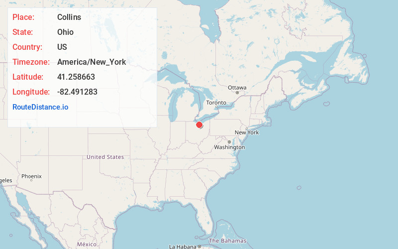
Full AddressCollins, OH
-
Coordinates41.2586633, -82.4912827
-
LocationCollins , Ohio , US
-
TimezoneAmerica/New_York
-
Current Local Time4:47:26 PM America/New_YorkWednesday, May 28, 2025
-
Page Views0
About Collins
Collins is a census-designated place in central Townsend Township, Huron County, Ohio, United States. As of the 2020 census the population of the CDP was 628. The CDP includes the unincorporated communities of Collins and East Townsend. Collins has a post office, with the ZIP code of 44826.
Nearby Places
Found 10 places within 50 miles

Berlin Heights
4.6 mi
7.4 km
Berlin Heights, OH 44814
Get directions

Wakeman
4.8 mi
7.7 km
Wakeman, OH 44889
Get directions

Milan
6.5 mi
10.5 km
Milan, OH
Get directions

Norwalk
6.6 mi
10.6 km
Norwalk, OH
Get directions

Huron
10.0 mi
16.1 km
Huron, OH 44839
Get directions

Monroeville
10.7 mi
17.2 km
Monroeville, OH 44847
Get directions
North Fairfield
12.4 mi
20.0 km
North Fairfield, OH 44855
Get directions

New London
12.9 mi
20.8 km
New London, OH 44851
Get directions

Vermilion
13.1 mi
21.1 km
Vermilion, OH
Get directions

South Amherst
14.0 mi
22.5 km
South Amherst, OH
Get directions
Location Links
Local Weather
Weather Information
Coming soon!
Location Map
Static map view of Collins, Ohio
Browse Places by Distance
Places within specific distances from Collins
Short Distances
Long Distances
Click any distance to see all places within that range from Collins. Distances shown in miles (1 mile ≈ 1.61 kilometers).