Distance to Bittinger, Maryland

Calculating Your Route
Just a moment while we process your request...
Location Information
-
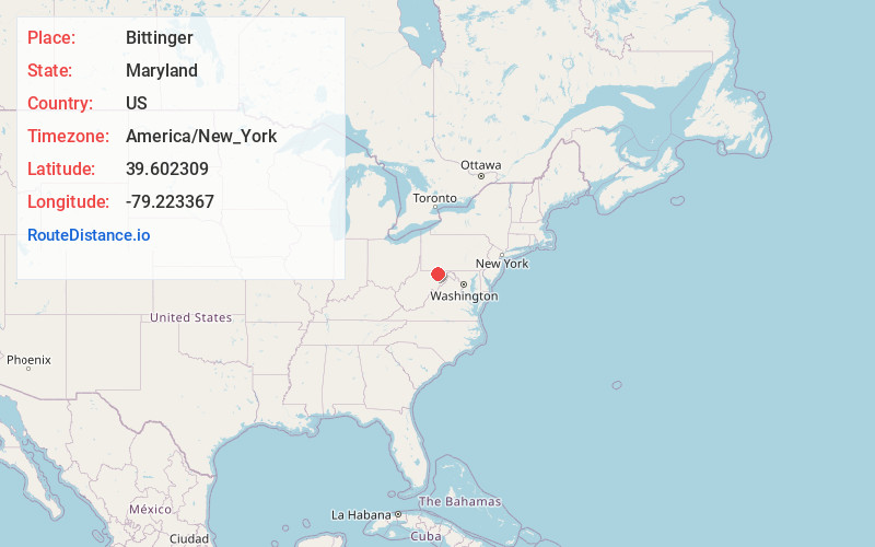
Full AddressBittinger, MD 21522
-
Coordinates39.6023092, -79.2233674
-
LocationBittinger , Maryland , US
-
TimezoneAmerica/New_York
-
Current Local Time6:01:31 PM America/New_YorkThursday, June 19, 2025
-
Page Views0
About Bittinger
Bittinger is an unincorporated community in northeastern Garrett County, Maryland, United States, on the western edge of the Savage River State Forest. It lies along Maryland Route 495 northeast of the city of Oakland, the county seat of Garrett County. Its elevation is 2,690 feet.


Nearby Places
Found 10 places within 50 miles

Foxtown
2.2 mi
3.5 km
Foxtown, MD 21536
Get directions
Jennings
3.7 mi
6.0 km
Jennings, MD 21536
Get directions

Accident
5.4 mi
8.7 km
Accident, MD 21520
Get directions
North Glade
7.0 mi
11.3 km
North Glade, MD 21561
Get directions

Grantsville
7.5 mi
12.1 km
Grantsville, MD 21536
Get directions
Hoyes
7.8 mi
12.6 km
Hoyes, MD 21541
Get directions
Hazelhurst
9.5 mi
15.3 km
Hazelhurst, MD 21561
Get directions

Swanton
9.9 mi
15.9 km
Swanton, MD 21561
Get directions
Niverton
10.1 mi
16.3 km
Niverton, Elk Lick Township, PA 15558
Get directions

Friendsville
10.6 mi
17.1 km
Friendsville, MD 21531
Get directions
Location Links
Local Weather
Weather Information
Coming soon!
Location Map
Static map view of Bittinger, Maryland
Browse Places by Distance
Places within specific distances from Bittinger
Short Distances
Long Distances
Click any distance to see all places within that range from Bittinger. Distances shown in miles (1 mile ≈ 1.61 kilometers).