Distance to Black Bottom, Kentucky

Calculating Your Route
Just a moment while we process your request...
Location Information
-
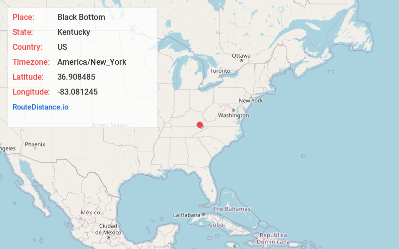
Full AddressBlack Bottom, KY 40828
-
Coordinates36.908485, -83.081245
-
LocationBlack Bottom , Kentucky , US
-
TimezoneAmerica/New_York
-
Current Local Time11:15:30 PM America/New_YorkWednesday, June 18, 2025
-
Page Views0
About Black Bottom
Black Bottom is an unincorporated community in Harlan County, Kentucky, United States. Black Bottom is located along Kentucky Route 38 7.2 miles east-northeast of Evarts.
Nearby Places
Found 10 places within 50 miles

Rileyville
1.2 mi
1.9 km
Rileyville, KY 40927
Get directions
Gano
3.0 mi
4.8 km
Gano, KY 40828
Get directions
Hiram
4.4 mi
7.1 km
Hiram, KY 40823
Get directions
Benedict
5.3 mi
8.5 km
Benedict, VA 24282
Get directions
Kenvir
5.6 mi
9.0 km
Kenvir, KY
Get directions
Turners Siding
6.5 mi
10.5 km
Turners Siding, VA 24282
Get directions

Evarts
7.1 mi
11.4 km
Evarts, KY 40828
Get directions
St Charles
7.5 mi
12.1 km
St Charles, VA 24282
Get directions
Divide
7.5 mi
12.1 km
Divide, KY 40870
Get directions
Kildav
7.7 mi
12.4 km
Kildav, KY 40828
Get directions
Location Links
Local Weather
Weather Information
Coming soon!
Location Map
Static map view of Black Bottom, Kentucky
Browse Places by Distance
Places within specific distances from Black Bottom
Short Distances
Long Distances
Click any distance to see all places within that range from Black Bottom. Distances shown in miles (1 mile ≈ 1.61 kilometers).