Distance to Kildav, Kentucky

Calculating Your Route
Just a moment while we process your request...
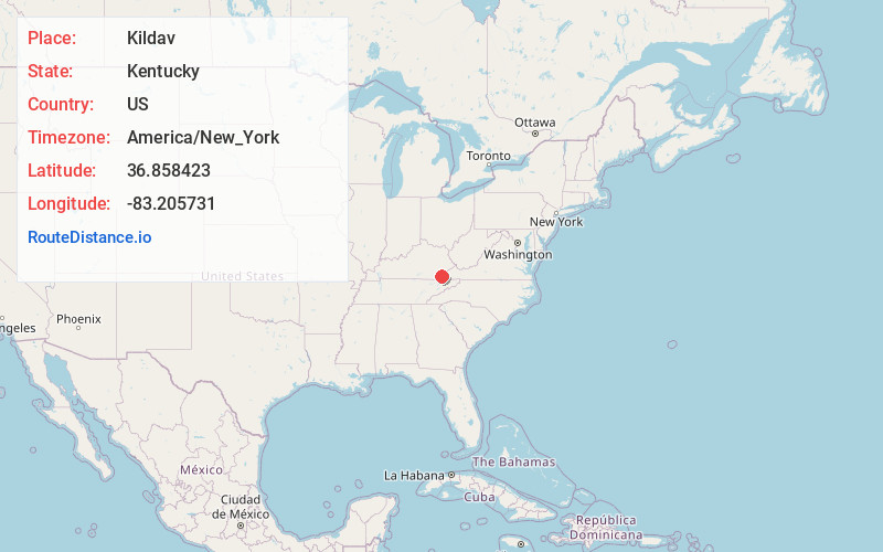
Location Information
-
Full AddressKildav, KY 40828
-
Coordinates36.8584229, -83.2057306
-
LocationKentucky , US
-
TimezoneAmerica/New_York
-
Current Local Time1:21:01 PM America/New_YorkSaturday, June 21, 2025
-
Page Views0
About Kildav
Kildav is an unincorporated community and coal town in Harlan County, Kentucky, United States. Its post office is closed. The name is a combination of Killebrew and Davis, owners of the King Harlan Coal Company.
Nearby Places
Found 10 places within 50 miles

Evarts
0.6 mi
1.0 km
Evarts, KY 40828
Get directions

Ten Spot
1.2 mi
1.9 km
Ten Spot, KY 40828
Get directions
Ages
2.2 mi
3.5 km
Ages, KY
Get directions
Kenvir
2.7 mi
4.3 km
Kenvir, KY
Get directions
Putney
3.4 mi
5.5 km
Putney, KY 40865
Get directions
Coxton
3.6 mi
5.8 km
Coxton, KY 40831
Get directions
Gano
4.9 mi
7.9 km
Gano, KY 40828
Get directions
Kitts
4.9 mi
7.9 km
Kitts, KY 40831
Get directions
Lenarue
5.0 mi
8.0 km
Lenarue, KY 40818
Get directions
Bobs Creek
5.2 mi
8.4 km
Bobs Creek, KY 40815
Get directions
Location Links
Local Weather
Weather Information
Coming soon!
Location Map
Static map view of Kildav, Kentucky
Browse Places by Distance
Places within specific distances from Kildav
Short Distances
Long Distances
Click any distance to see all places within that range from Kildav. Distances shown in miles (1 mile ≈ 1.61 kilometers).