Distance to Black Forest, Colorado

Calculating Your Route
Just a moment while we process your request...
Location Information
-
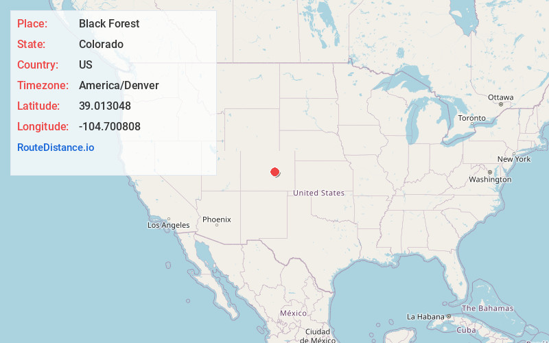
Full AddressBlack Forest, CO
-
Coordinates39.0130484, -104.7008083
-
LocationBlack Forest , Colorado , US
-
TimezoneAmerica/Denver
-
Current Local Time7:46:10 PM America/DenverSaturday, June 21, 2025
-
Page Views0
About Black Forest
Black Forest is an unincorporated community and a census-designated place located in El Paso County, Colorado, United States. The CDP is a part of the Colorado Springs, CO Metropolitan Statistical Area. The population of the Black Forest CDP was 15,097 at the United States Census 2020.


Nearby Places
Found 10 places within 50 miles

Cimarron Hills
10.0 mi
16.1 km
Cimarron Hills, CO
Get directions

Colorado Springs
13.9 mi
22.4 km
Colorado Springs, CO
Get directions

Security-Widefield
17.3 mi
27.8 km
Security-Widefield, CO
Get directions

Fort Carson
19.6 mi
31.5 km
Fort Carson, CO
Get directions

Fountain
22.9 mi
36.9 km
Fountain, CO
Get directions

Castle Rock
26.2 mi
42.2 km
Castle Rock, CO
Get directions

Parker
35.1 mi
56.5 km
Parker, CO
Get directions

Centennial
40.3 mi
64.9 km
Centennial, CO
Get directions

Greenwood Village
43.8 mi
70.5 km
Greenwood Village, CO
Get directions

Columbine
44.3 mi
71.3 km
Columbine, CO
Get directions
Location Links
Local Weather
Weather Information
Coming soon!
Location Map
Static map view of Black Forest, Colorado
Browse Places by Distance
Places within specific distances from Black Forest
Short Distances
Long Distances
Click any distance to see all places within that range from Black Forest. Distances shown in miles (1 mile ≈ 1.61 kilometers).