Distance to Castle Rock, Colorado

Calculating Your Route
Just a moment while we process your request...
Location Information
-
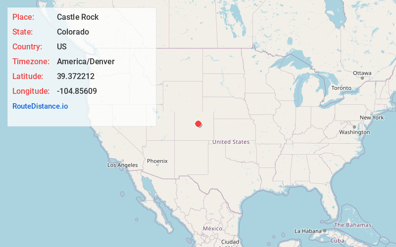
Full AddressCastle Rock, CO
-
Coordinates39.3722121, -104.8560902
-
LocationCastle Rock , Colorado , US
-
TimezoneAmerica/Denver
-
Current Local Time8:58:47 PM America/DenverFriday, May 30, 2025
-
Website
-
Page Views0
About Castle Rock
Castle Rock is a home-rule town that is the county seat and the most-populous municipality of Douglas County, Colorado, United States. The town’s population was 73,158 at the 2020 census, a 51.68% increase since the 2010 census.


Nearby Places
Found 10 places within 50 miles

Centennial
14.5 mi
23.3 km
Centennial, CO
Get directions

Aurora
24.7 mi
39.8 km
Aurora, CO
Get directions

Lakewood
25.9 mi
41.7 km
Lakewood, CO
Get directions

Denver
26.3 mi
42.3 km
Denver, CO
Get directions

Arvada
32.2 mi
51.8 km
Arvada, CO
Get directions

Westminster
33.5 mi
53.9 km
Westminster, CO
Get directions

Thornton
34.8 mi
56.0 km
Thornton, CO
Get directions

Colorado Springs
37.1 mi
59.7 km
Colorado Springs, CO
Get directions

Lafayette
44.7 mi
71.9 km
Lafayette, CO
Get directions

Boulder
49.9 mi
80.3 km
Boulder, CO
Get directions
Location Links
Local Weather
Weather Information
Coming soon!
Location Map
Static map view of Castle Rock, Colorado
Browse Places by Distance
Places within specific distances from Castle Rock
Short Distances
Long Distances
Click any distance to see all places within that range from Castle Rock. Distances shown in miles (1 mile ≈ 1.61 kilometers).