Distance to Black Hawk, Louisiana

Calculating Your Route
Just a moment while we process your request...
Location Information
-
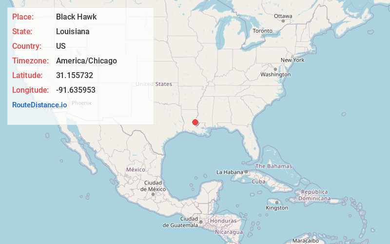
Full AddressBlack Hawk, LA 71373
-
Coordinates31.1557322, -91.6359525
-
LocationBlack Hawk , Louisiana , US
-
TimezoneAmerica/Chicago
-
Current Local Time1:50:05 AM America/ChicagoFriday, June 13, 2025
-
Page Views0
About Black Hawk
Blackhawk is a rural community near Shaw in Corcordia Parish, Louisiana, United States, on the west bank of the Mississippi River. It was one of the last rural areas of Louisiana to receive reliable phone service, after Centennial Wireless built a cellular tower in 2005. Crops grown at Blackhawk include sugarcane.
Nearby Places
Found 10 places within 50 miles

Artonish
3.9 mi
6.3 km
Artonish, MS 39669
Get directions
Loch Leven
5.1 mi
8.2 km
Loch Leven, MS 39669
Get directions
Fort Adams
7.1 mi
11.4 km
Fort Adams, MS 39669
Get directions
Fairview
13.2 mi
21.2 km
Fairview, LA 71373
Get directions
Pinckneyville
13.3 mi
21.4 km
Pinckneyville, MS 39669
Get directions
Delhoste
13.8 mi
22.2 km
Delhoste, LA 71316
Get directions
Simmesport
15.4 mi
24.8 km
Simmesport, LA 71369
Get directions
Retreat
15.5 mi
24.9 km
Retreat, LA 70775
Get directions
Keller
15.6 mi
25.1 km
Keller, LA 70753
Get directions
Legonier
15.7 mi
25.3 km
Legonier, LA 70753
Get directions
Location Links
Local Weather
Weather Information
Coming soon!
Location Map
Static map view of Black Hawk, Louisiana
Browse Places by Distance
Places within specific distances from Black Hawk
Short Distances
Long Distances
Click any distance to see all places within that range from Black Hawk. Distances shown in miles (1 mile ≈ 1.61 kilometers).