Distance to Blackgum Mountain, Oklahoma

Calculating Your Route
Just a moment while we process your request...
Location Information
-
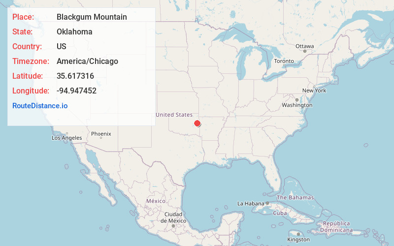
Full AddressBlackgum Mountain, Evening Shade, OK 74962
-
Coordinates35.6173159, -94.9474524
-
LocationEvening Shade , Oklahoma , US
-
TimezoneAmerica/Chicago
-
Current Local Time3:51:42 AM America/ChicagoFriday, May 30, 2025
-
Page Views0
Nearby Places
Found 10 places within 50 miles

Evening Shade
1.2 mi
1.9 km
Evening Shade, OK
Get directions
Box
3.0 mi
4.8 km
Box, OK 74962
Get directions
Redbird Smith
5.4 mi
8.7 km
Redbird Smith, OK
Get directions
Pinhook Corners
6.6 mi
10.6 km
Pinhook Corners, OK 74962
Get directions

Cookson
6.6 mi
10.6 km
Cookson, OK
Get directions
Paradise Hill
6.8 mi
10.9 km
Paradise Hill, OK 74435
Get directions
Marble City
7.5 mi
12.1 km
Marble City, OK 74945
Get directions
Flute Springs
8.0 mi
12.9 km
Flute Springs, OK
Get directions

Vian
8.3 mi
13.4 km
Vian, OK 74962
Get directions
Notchietown
8.5 mi
13.7 km
Notchietown, OK 74435
Get directions
Location Links
Local Weather
Weather Information
Coming soon!
Location Map
Static map view of Blackgum Mountain, Oklahoma
Browse Places by Distance
Places within specific distances from Blackgum Mountain
Short Distances
Long Distances
Click any distance to see all places within that range from Blackgum Mountain. Distances shown in miles (1 mile ≈ 1.61 kilometers).