Distance to Evening Shade, Oklahoma

Calculating Your Route
Just a moment while we process your request...
Location Information
-
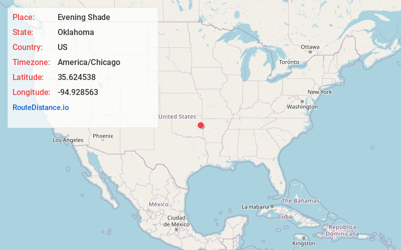
Full AddressEvening Shade, OK
-
Coordinates35.6245378, -94.9285629
-
LocationEvening Shade , Oklahoma , US
-
TimezoneAmerica/Chicago
-
Current Local Time12:14:43 PM America/ChicagoSaturday, June 21, 2025
-
Page Views0
About Evening Shade
Evening Shade is a census-designated place in Sequoyah County, Oklahoma, United States. It is part of the Fort Smith, Arkansas-Oklahoma Metropolitan Statistical Area. The population was 359 at the 2010 census.
Nearby Places
Found 10 places within 50 miles

Cookson
6.0 mi
9.7 km
Cookson, OK
Get directions

Redbird Smith
6.6 mi
10.6 km
Redbird Smith, OK
Get directions

Vian
9.0 mi
14.5 km
Vian, OK 74962
Get directions

Pettit
9.1 mi
14.6 km
Pettit, OK 74451
Get directions
Carlisle
10.2 mi
16.4 km
Carlisle, OK
Get directions
Keys
12.2 mi
19.6 km
Keys, OK
Get directions

Brushy
12.3 mi
19.8 km
Brushy, OK 74955
Get directions

Gore
12.5 mi
20.1 km
Gore, OK 74435
Get directions

Webbers Falls
13.8 mi
22.2 km
Webbers Falls, OK
Get directions

Zeb
13.8 mi
22.2 km
Zeb, OK 74464
Get directions
Location Links
Local Weather
Weather Information
Coming soon!
Location Map
Static map view of Evening Shade, Oklahoma
Browse Places by Distance
Places within specific distances from Evening Shade
Short Distances
Long Distances
Click any distance to see all places within that range from Evening Shade. Distances shown in miles (1 mile ≈ 1.61 kilometers).