Distance to Brushy, Oklahoma

Calculating Your Route
Just a moment while we process your request...
Location Information
-
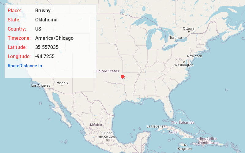
Full AddressBrushy, OK 74955
-
Coordinates35.5570353, -94.7255001
-
LocationBrushy , Oklahoma , US
-
TimezoneAmerica/Chicago
-
Current Local Time11:11:59 PM America/ChicagoWednesday, June 4, 2025
-
Page Views0
About Brushy
Brushy is a census-designated place in Sequoyah County, Oklahoma, United States, along U.S. Route 59 in the foothills of the Brushy Mountains. It is part of the Fort Smith, Arkansas-Oklahoma Metropolitan Statistical Area.


Nearby Places
Found 10 places within 50 miles

Sallisaw
7.5 mi
12.1 km
Sallisaw, OK 74955
Get directions

Muldrow
12.6 mi
20.3 km
Muldrow, OK 74948
Get directions

Vian
14.3 mi
23.0 km
Vian, OK 74962
Get directions

Roland
15.1 mi
24.3 km
Roland, OK
Get directions

Cookson
15.2 mi
24.5 km
Cookson, OK
Get directions

Stilwell
18.6 mi
29.9 km
Stilwell, OK 74960
Get directions

Cedarville
20.2 mi
32.5 km
Cedarville, AR
Get directions

Fort Smith
20.9 mi
33.6 km
Fort Smith, AR
Get directions

Keys
21.5 mi
34.6 km
Keys, OK
Get directions

Arkoma
21.5 mi
34.6 km
Arkoma, OK 74901
Get directions
Location Links
Local Weather
Weather Information
Coming soon!
Location Map
Static map view of Brushy, Oklahoma
Browse Places by Distance
Places within specific distances from Brushy
Short Distances
Long Distances
Click any distance to see all places within that range from Brushy. Distances shown in miles (1 mile ≈ 1.61 kilometers).