Distance to and from Keys, Oklahoma
Keys, OK
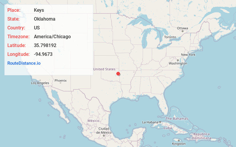
Keys
Oklahoma
US
America/Chicago
Location Information
-
Full AddressKeys, OK
-
Coordinates35.798192, -94.9673002
-
LocationKeys , Oklahoma , US
-
TimezoneAmerica/Chicago
-
Current Local Time8:04:35 AM America/ChicagoSunday, May 4, 2025
-
Page Views0
Directions to Nearest Cities
About Keys
Keys is an unincorporated community and census-designated place in Cherokee County, Oklahoma, United States. The population was 565 at the 2010 census.
Nearby Places
Found 10 places within 50 miles

Park Hill
4.4 mi
7.1 km
Park Hill, OK
Get directions

Woodall
6.2 mi
10.0 km
Woodall, OK
Get directions

Cookson
6.6 mi
10.6 km
Cookson, OK
Get directions

Tahlequah
8.1 mi
13.0 km
Tahlequah, OK 74464
Get directions

Briggs
9.2 mi
14.8 km
Briggs, OK 74464
Get directions

Fort Gibson
15.9 mi
25.6 km
Fort Gibson, OK 74434
Get directions

Stilwell
19.0 mi
30.6 km
Stilwell, OK 74960
Get directions

Gore
20.4 mi
32.8 km
Gore, OK 74435
Get directions

Vian
20.7 mi
33.3 km
Vian, OK 74962
Get directions
Toppers
22.6 mi
36.4 km
Toppers, OK 74467
Get directions
Park Hill
4.4 mi
7.1 km
Park Hill, OK
Woodall
6.2 mi
10.0 km
Woodall, OK
Cookson
6.6 mi
10.6 km
Cookson, OK
Tahlequah
8.1 mi
13.0 km
Tahlequah, OK 74464
Briggs
9.2 mi
14.8 km
Briggs, OK 74464
Fort Gibson
15.9 mi
25.6 km
Fort Gibson, OK 74434
Stilwell
19.0 mi
30.6 km
Stilwell, OK 74960
Gore
20.4 mi
32.8 km
Gore, OK 74435
Vian
20.7 mi
33.3 km
Vian, OK 74962
Toppers
22.6 mi
36.4 km
Toppers, OK 74467
Location Links
Local Weather
Weather Information
Coming soon!
Location Map
Static map view of Keys, Oklahoma
Browse Places by Distance
Places within specific distances from Keys
Short Distances
Long Distances
Click any distance to see all places within that range from Keys. Distances shown in miles (1 mile ≈ 1.61 kilometers).