Distance to Fort Gibson, Oklahoma

Calculating Your Route
Just a moment while we process your request...
Location Information
-
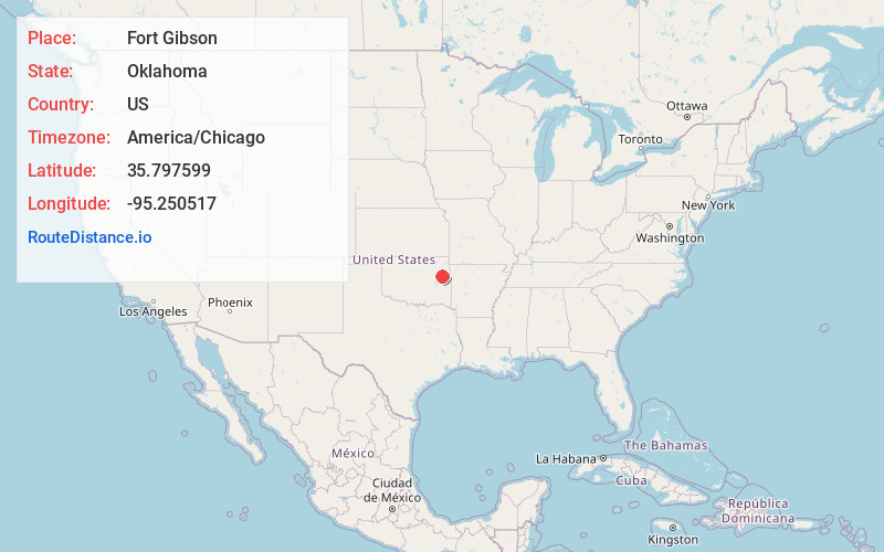
Full AddressFort Gibson, OK 74434
-
Coordinates35.7975986, -95.2505173
-
LocationFort Gibson , Oklahoma , US
-
TimezoneAmerica/Chicago
-
Current Local Time8:14:48 PM America/ChicagoWednesday, June 18, 2025
-
Page Views0
About Fort Gibson
Fort Gibson is a town in Cherokee and Muskogee counties in the U.S. state of Oklahoma. The population was 3,814 as of the 2020 Census. It is the location of Fort Gibson Historical Site and Fort Gibson National Cemetery and is located near the end of the Cherokees' Trail of Tears at Tahlequah.


Nearby Places
Found 10 places within 50 miles

Muskogee
7.5 mi
12.1 km
Muskogee, OK
Get directions

Wagoner
13.0 mi
20.9 km
Wagoner, OK 74467
Get directions

Tahlequah
17.7 mi
28.5 km
Tahlequah, OK 74464
Get directions

Coweta
24.8 mi
39.9 km
Coweta, OK
Get directions

Sallisaw
34.9 mi
56.2 km
Sallisaw, OK 74955
Get directions

Pryor
35.5 mi
57.1 km
Pryor, OK 74361
Get directions

Broken Arrow
35.6 mi
57.3 km
Broken Arrow, OK
Get directions

Bixby
36.8 mi
59.2 km
Bixby, OK
Get directions

Catoosa
38.7 mi
62.3 km
Catoosa, OK
Get directions

Verdigris
39.0 mi
62.8 km
Verdigris, OK 74019
Get directions
Location Links
Local Weather
Weather Information
Coming soon!
Location Map
Static map view of Fort Gibson, Oklahoma
Browse Places by Distance
Places within specific distances from Fort Gibson
Short Distances
Long Distances
Click any distance to see all places within that range from Fort Gibson. Distances shown in miles (1 mile ≈ 1.61 kilometers).