Distance to Wagoner, Oklahoma

Calculating Your Route
Just a moment while we process your request...
Location Information
-
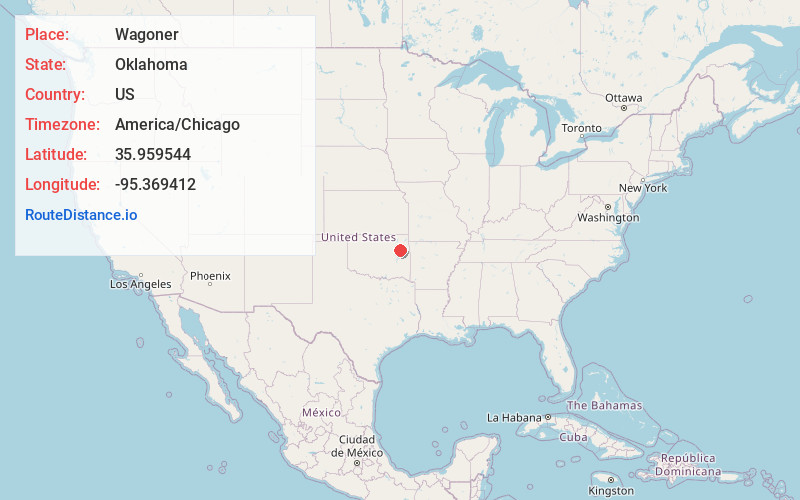
Full AddressWagoner, OK 74467
-
Coordinates35.9595442, -95.3694116
-
LocationWagoner , Oklahoma , US
-
TimezoneAmerica/Chicago
-
Current Local Time4:10:23 PM America/ChicagoThursday, June 5, 2025
-
Page Views0
About Wagoner
Wagoner is a city in Wagoner County, Oklahoma, United States. The population was 8,323 at the 2010 census, compared to the figure of 7,669 recorded in 2000. It is the county seat of Wagoner County. Wagoner became the first city incorporated in Indian Territory on January 4, 1896.


Nearby Places
Found 10 places within 50 miles

Muskogee
14.6 mi
23.5 km
Muskogee, OK
Get directions

Coweta
15.7 mi
25.3 km
Coweta, OK
Get directions

Tahlequah
22.6 mi
36.4 km
Tahlequah, OK 74464
Get directions

Pryor
24.3 mi
39.1 km
Pryor, OK 74361
Get directions

Broken Arrow
24.9 mi
40.1 km
Broken Arrow, OK
Get directions

Catoosa
26.3 mi
42.3 km
Catoosa, OK
Get directions

Claremore
28.0 mi
45.1 km
Claremore, OK
Get directions

Bixby
28.8 mi
46.3 km
Bixby, OK
Get directions

Jenks
33.8 mi
54.4 km
Jenks, OK
Get directions

Owasso
34.5 mi
55.5 km
Owasso, OK
Get directions
Location Links
Local Weather
Weather Information
Coming soon!
Location Map
Static map view of Wagoner, Oklahoma
Browse Places by Distance
Places within specific distances from Wagoner
Short Distances
Long Distances
Click any distance to see all places within that range from Wagoner. Distances shown in miles (1 mile ≈ 1.61 kilometers).