Distance to Woodall, Oklahoma

Calculating Your Route
Just a moment while we process your request...
Location Information
-
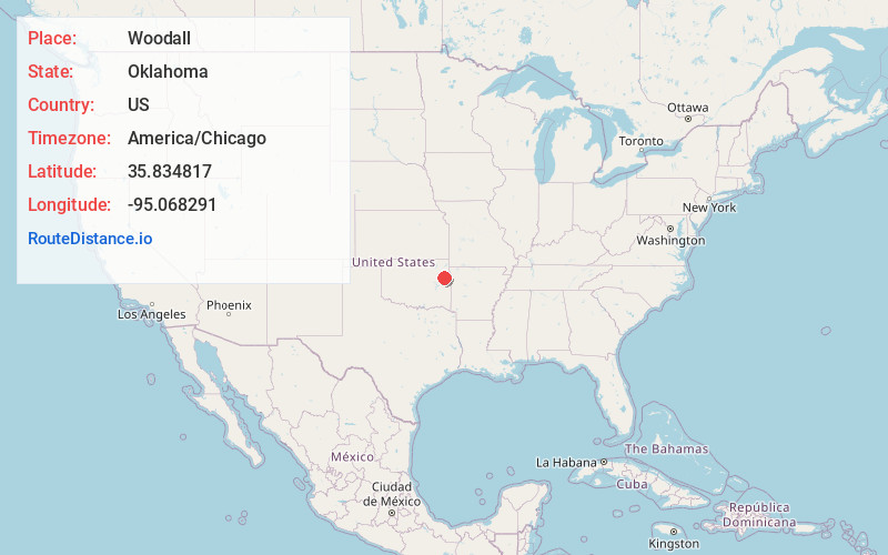
Full AddressWoodall, OK
-
Coordinates35.834817, -95.0682906
-
LocationWoodall , Oklahoma , US
-
TimezoneAmerica/Chicago
-
Current Local Time3:31:10 PM America/ChicagoMonday, June 16, 2025
-
Page Views0
About Woodall
Woodall is an unincorporated community and census-designated place in Cherokee County, Oklahoma, United States. The population was 823 at the 2010 census.


Nearby Places
Found 10 places within 50 miles

Park Hill
6.4 mi
10.3 km
Park Hill, OK
Get directions

Tahlequah
7.8 mi
12.6 km
Tahlequah, OK 74464
Get directions

Fort Gibson
10.5 mi
16.9 km
Fort Gibson, OK 74434
Get directions

Muskogee
17.9 mi
28.8 km
Muskogee, OK
Get directions

Wagoner
18.9 mi
30.4 km
Wagoner, OK 74467
Get directions

Vian
23.9 mi
38.5 km
Vian, OK 74962
Get directions

Stilwell
24.7 mi
39.8 km
Stilwell, OK 74960
Get directions

Locust Grove
25.8 mi
41.5 km
Locust Grove, OK 74352
Get directions

Warner
27.0 mi
43.5 km
Warner, OK
Get directions

Chouteau
28.7 mi
46.2 km
Chouteau, OK 74337
Get directions
Location Links
Local Weather
Weather Information
Coming soon!
Location Map
Static map view of Woodall, Oklahoma
Browse Places by Distance
Places within specific distances from Woodall
Short Distances
Long Distances
Click any distance to see all places within that range from Woodall. Distances shown in miles (1 mile ≈ 1.61 kilometers).