Distance to Carlisle, Oklahoma

Calculating Your Route
Just a moment while we process your request...
Location Information
-
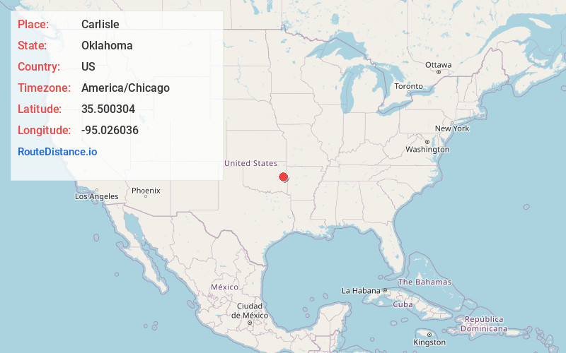
Full AddressCarlisle, OK
-
Coordinates35.5003043, -95.0260358
-
LocationCarlisle , Oklahoma , US
-
TimezoneAmerica/Chicago
-
Current Local Time9:34:05 AM America/ChicagoMonday, June 23, 2025
-
Page Views0
About Carlisle
Carlisle is a census-designated place in Sequoyah County, Oklahoma, United States. It is part of the Fort Smith, Arkansas-Oklahoma Metropolitan Statistical Area. The population was 606 at the 2010 census.
Nearby Places
Found 10 places within 50 miles

Vian
3.2 mi
5.1 km
Vian, OK 74962
Get directions

Redbird Smith
4.6 mi
7.4 km
Redbird Smith, OK
Get directions

Gore
5.5 mi
8.9 km
Gore, OK 74435
Get directions

Sallisaw
13.7 mi
22.0 km
Sallisaw, OK 74955
Get directions

Cookson
15.7 mi
25.3 km
Cookson, OK
Get directions

Warner
15.7 mi
25.3 km
Warner, OK
Get directions
Brent
16.8 mi
27.0 km
Brent, OK
Get directions

Porum
16.8 mi
27.0 km
Porum, OK 74455
Get directions

Brushy
17.3 mi
27.8 km
Brushy, OK 74955
Get directions

Stigler
17.9 mi
28.8 km
Stigler, OK 74462
Get directions
Location Links
Local Weather
Weather Information
Coming soon!
Location Map
Static map view of Carlisle, Oklahoma
Browse Places by Distance
Places within specific distances from Carlisle
Short Distances
Long Distances
Click any distance to see all places within that range from Carlisle. Distances shown in miles (1 mile ≈ 1.61 kilometers).