Distance to Pettit, Oklahoma

Calculating Your Route
Just a moment while we process your request...
Location Information
-
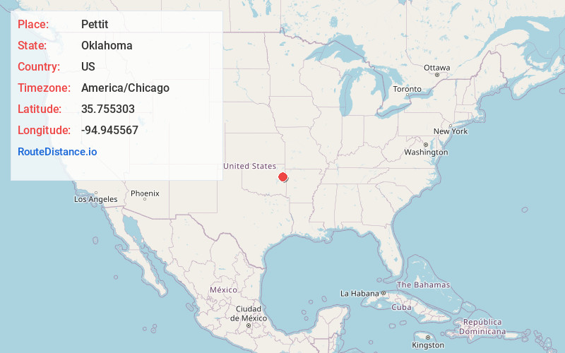
Full AddressPettit, OK 74451
-
Coordinates35.7553029, -94.9455674
-
LocationPettit , Oklahoma , US
-
TimezoneAmerica/Chicago
-
Current Local Time6:09:00 PM America/ChicagoTuesday, May 20, 2025
-
Page Views0
About Pettit
Pettit is an unincorporated community and census-designated place in Cherokee County, Oklahoma, United States. The population was 954 at the 2010 census, a 23.7 percent increase over the figure of 771 recorded in 2000. The town was named for Mark and Eliza Pettit, townsite allottees.

Nearby Places
Found 10 places within 50 miles

Keys
3.2 mi
5.1 km
Keys, OK
Get directions

Cookson
3.4 mi
5.5 km
Cookson, OK
Get directions
Park Hill
7.4 mi
11.9 km
Park Hill, OK
Get directions

Woodall
8.8 mi
14.2 km
Woodall, OK
Get directions

Tahlequah
11.1 mi
17.9 km
Tahlequah, OK 74464
Get directions

Briggs
11.6 mi
18.7 km
Briggs, OK 74464
Get directions
Grandview
15.2 mi
24.5 km
Grandview, OK 74464
Get directions

Fort Gibson
17.3 mi
27.8 km
Fort Gibson, OK 74434
Get directions

Cherry Tree
17.4 mi
28.0 km
Cherry Tree, OK 74960
Get directions

Vian
17.8 mi
28.6 km
Vian, OK 74962
Get directions
Location Links
Local Weather
Weather Information
Coming soon!
Location Map
Static map view of Pettit, Oklahoma
Browse Places by Distance
Places within specific distances from Pettit
Short Distances
Long Distances
Click any distance to see all places within that range from Pettit. Distances shown in miles (1 mile ≈ 1.61 kilometers).