Distance to Blackpipe, South Dakota

Calculating Your Route
Just a moment while we process your request...
Location Information
-
Full AddressBlackpipe, SD 57560
-
Coordinates43.343889, -101.2745927
-
LocationBlackpipe , South Dakota , US
-
TimezoneAmerica/Denver
-
Current Local Time7:01:51 PM America/DenverSaturday, June 7, 2025
-
Page Views0
About Blackpipe
Blackpipe is an unincorporated community in Bennett County, South Dakota, United States. GNIS also states a post office was there in 1940.
Prior to the opening of a convenience store in 2014, residents had to travel across county lines to Parmelee or White River to get gas.
Nearby Places
Found 10 places within 50 miles

Norris
9.7 mi
15.6 km
Norris, SD 57560
Get directions
Harrington
12.0 mi
19.3 km
Harrington, East Bennett, SD 57572
Get directions

Parmelee
12.6 mi
20.3 km
Parmelee, SD 57566
Get directions

Long Valley
13.8 mi
22.2 km
Long Valley, SD 57547
Get directions
Soldier Creek
19.6 mi
31.5 km
Soldier Creek, SD
Get directions

Cedar Butte
20.6 mi
33.2 km
Cedar Butte, SD 57579
Get directions
Two Strike
22.0 mi
35.4 km
Two Strike, SD
Get directions
Rosebud
22.5 mi
36.2 km
Rosebud, SD 57570
Get directions

St Francis
23.2 mi
37.3 km
St Francis, SD 57572
Get directions
Wanblee
24.8 mi
39.9 km
Wanblee, SD 57577
Get directions
Location Links
Local Weather
Weather Information
Coming soon!
Location Map
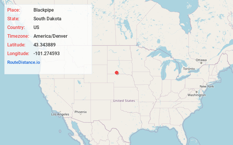
Static map view of Blackpipe, South Dakota
Browse Places by Distance
Places within specific distances from Blackpipe
Short Distances
Long Distances
Click any distance to see all places within that range from Blackpipe. Distances shown in miles (1 mile ≈ 1.61 kilometers).