Distance to Wanblee, South Dakota

Calculating Your Route
Just a moment while we process your request...
Location Information
-
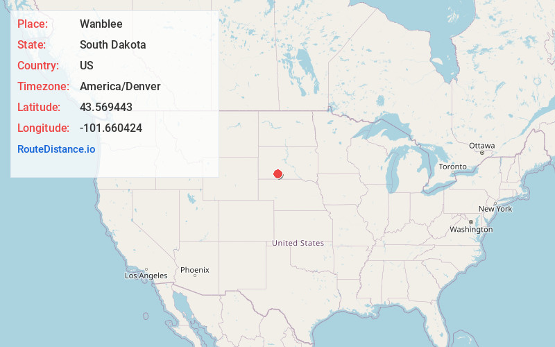
Full AddressWanblee, SD 57577
-
Coordinates43.5694425, -101.6604244
-
LocationWanblee , South Dakota , US
-
TimezoneAmerica/Denver
-
Current Local Time7:36:53 AM America/DenverWednesday, June 18, 2025
-
Page Views0
About Wanblee
Wanblee is a census-designated place on the Pine Ridge Indian Reservation, located in Jackson County, South Dakota, United States. The population was 674 at the 2020 census, virtually all of whom are members of the Oglala tribe of Lakota Sioux.
Nearby Places
Found 6 places within 50 miles

Allen
23.9 mi
38.5 km
Allen, SD 57714
Get directions

Martin
27.7 mi
44.6 km
Martin, SD 57551
Get directions

Kyle
27.7 mi
44.6 km
Kyle, SD 57752
Get directions

Porcupine
40.5 mi
65.2 km
Porcupine, SD 57772
Get directions

White River
45.8 mi
73.7 km
White River, SD 57579
Get directions
Rosebud
46.7 mi
75.2 km
Rosebud, SD 57570
Get directions
Location Links
Local Weather
Weather Information
Coming soon!
Location Map
Static map view of Wanblee, South Dakota
Browse Places by Distance
Places within specific distances from Wanblee
Short Distances
Long Distances
Click any distance to see all places within that range from Wanblee. Distances shown in miles (1 mile ≈ 1.61 kilometers).