Distance to Blacksville, Georgia

Calculating Your Route
Just a moment while we process your request...
Location Information
-
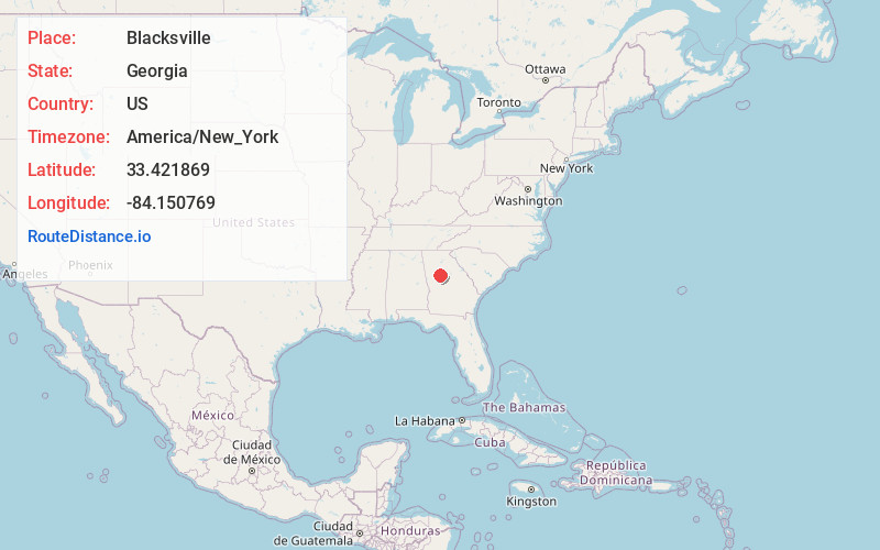
Full AddressBlacksville, GA 30253
-
Coordinates33.4218689, -84.1507685
-
LocationBlacksville , Georgia , US
-
TimezoneAmerica/New_York
-
Current Local Time1:34:19 AM America/New_YorkThursday, June 19, 2025
-
Page Views0
About Blacksville
Blacksville is an unincorporated community in Henry County, Georgia, United States. At the 2000 census it was recorded as a census-designated place, with a population of four. It was no longer a CDP at the 2010 census.
Blacksville is named after the Black family of McDonough, Georgia.
Nearby Places
Found 10 places within 50 miles

McDonough
1.8 mi
2.9 km
McDonough, GA
Get directions

Locust Grove
5.8 mi
9.3 km
Locust Grove, GA
Get directions

Heron Bay
6.2 mi
10.0 km
Heron Bay, GA 30248
Get directions
Ola
6.3 mi
10.1 km
Ola, GA 30252
Get directions
Millers Mill
7.8 mi
12.6 km
Millers Mill, GA 30281
Get directions
Steeles Mill
7.9 mi
12.7 km
Steeles Mill, GA 30248
Get directions

Hampton
8.0 mi
12.9 km
Hampton, GA 30228
Get directions
Whitehouse
8.4 mi
13.5 km
Whitehouse, GA 30252
Get directions

Kelleytown
8.7 mi
14.0 km
Kelleytown, GA 30252
Get directions
Jenkinsburg
9.4 mi
15.1 km
Jenkinsburg, GA 30234
Get directions
Location Links
Local Weather
Weather Information
Coming soon!
Location Map
Static map view of Blacksville, Georgia
Browse Places by Distance
Places within specific distances from Blacksville
Short Distances
Long Distances
Click any distance to see all places within that range from Blacksville. Distances shown in miles (1 mile ≈ 1.61 kilometers).